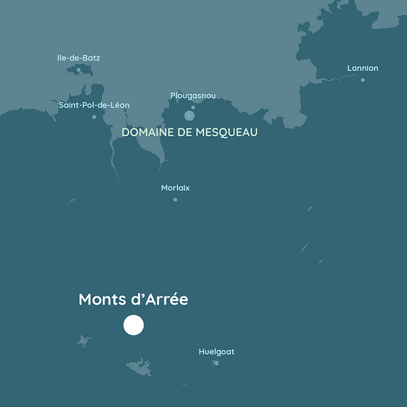
Discover the most beautiful treasures of the land of Breizh (Brittany)
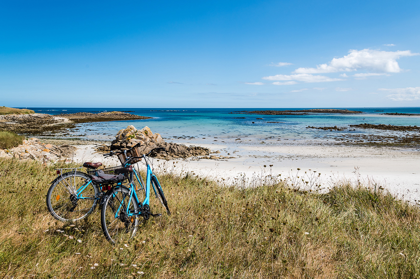
Make the most of your stay on the Domaine de Mesqueau to go off to explore the loveliest treasures in Finistère, a land where green and blue are one. Here you are in the middle of nowhere, in an exceptional setting where nature has all it is entitled to. Go off to conquer the so-called “Far Ouest” (Far West – here Finistère and the surrounding areas) through the numerous hiking paths, cycle trails and various bridleways, which cross exceptional landscapes. Treat yourself to the chance to be intoxicated by the scent of heather on the Monts d’Arrée mountains, breathe in the sea spray of the Côte de Granit Rose and revel in Brittany’s gourmet specialities!
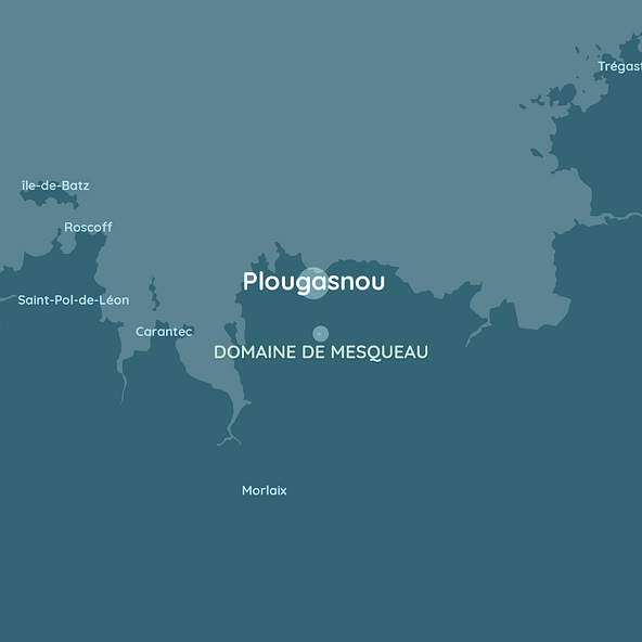
Plougasnou
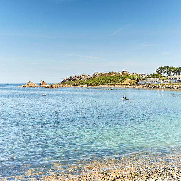
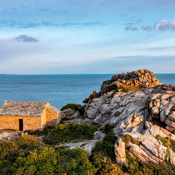
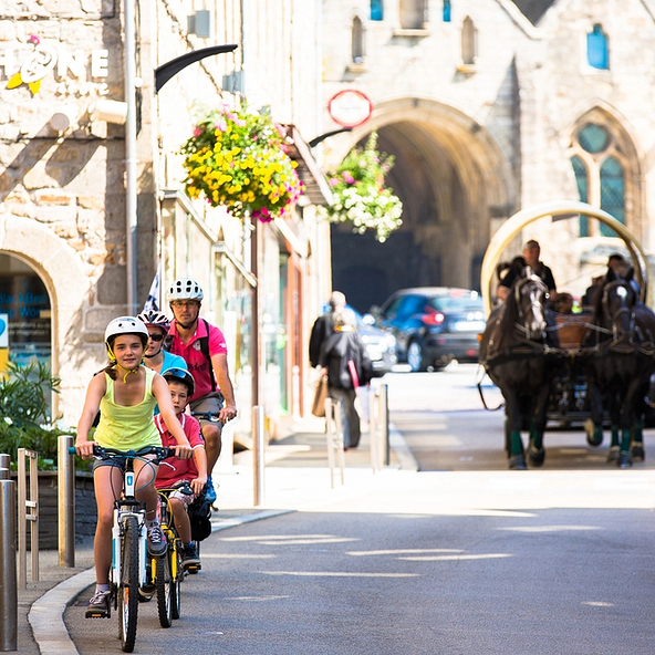
The town of Plougasnou has made of the most of its unique position on the shore of the Baie de Morlaix bay, to very quickly become a seaside resort. From 1912 to 1934, the railway line linking Morlaix to Primel Plougasnou played an essential role in this growth. These wonderful times, and the fashion for sea swimming, marked a period of growth in seaside villas and large hotels in Plougasnou. At the height of their glory, these establishments saw some famous people, such as Joseph Kessel (French journalist and novelist), Nina Ricci (fashion designer), the singer Fréhel and Maréchal Foch (Chief of Staff of the French army). Also noted here were Alexandre Dumas junior (playwright and novelist)…and numerous renowned painters (Kisling, Willette, Maufra, Benois, Raffaëlli…) who came inspired by this exceptional setting.
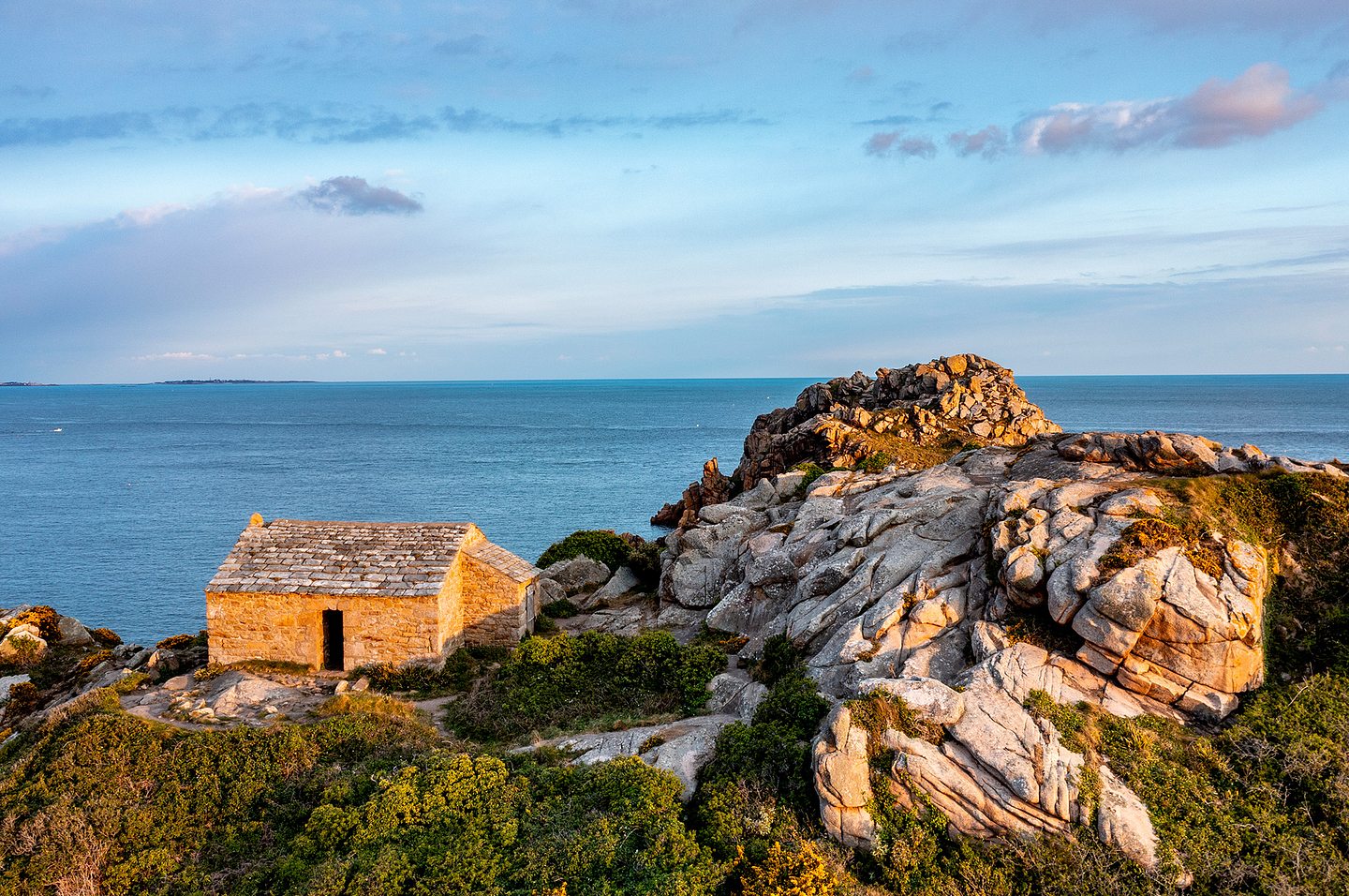
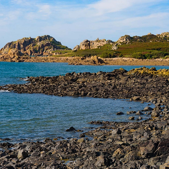
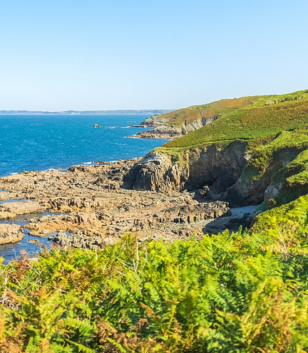
A walk in Plougasnou not to be missed! Roam the Sentier des Douaniers (Customs Officers’ Path) leading to the Primel headland, and treat yourself to a moment of relaxation, slap bang in the middle of the cliffs on the Breton coast. The footpath owes its name to first being used for fighting smuggling, at the end of the 18th century. As you go through this protected area, indented with numerous creeks, you will find rocky beaches, fine sandy beaches, and obviously diverse and varied ports. Examples include the floating harbour of Le Diben Plougasnou, which welcomes boats, whatever the tide level. For the most athletic, the Primel headland is an excellent climbing spot!
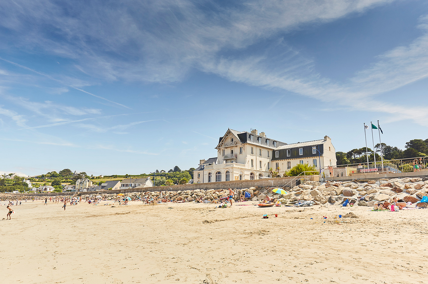
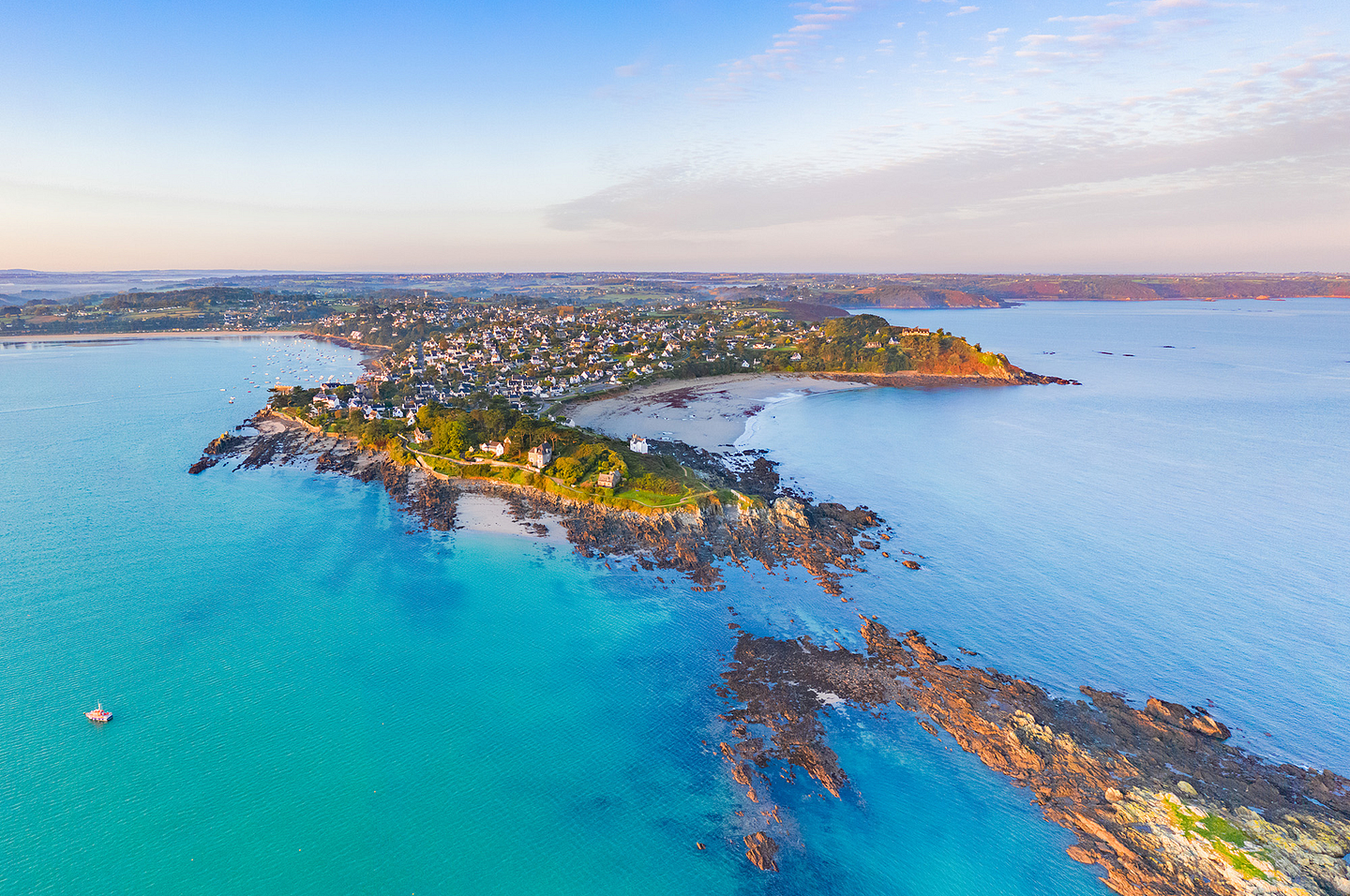
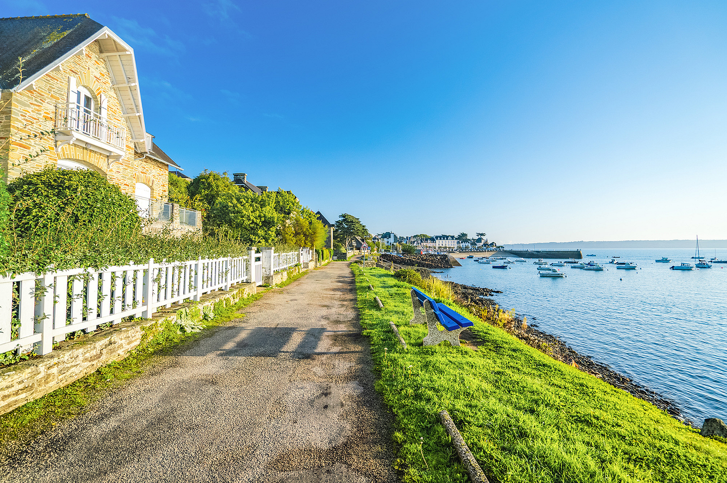
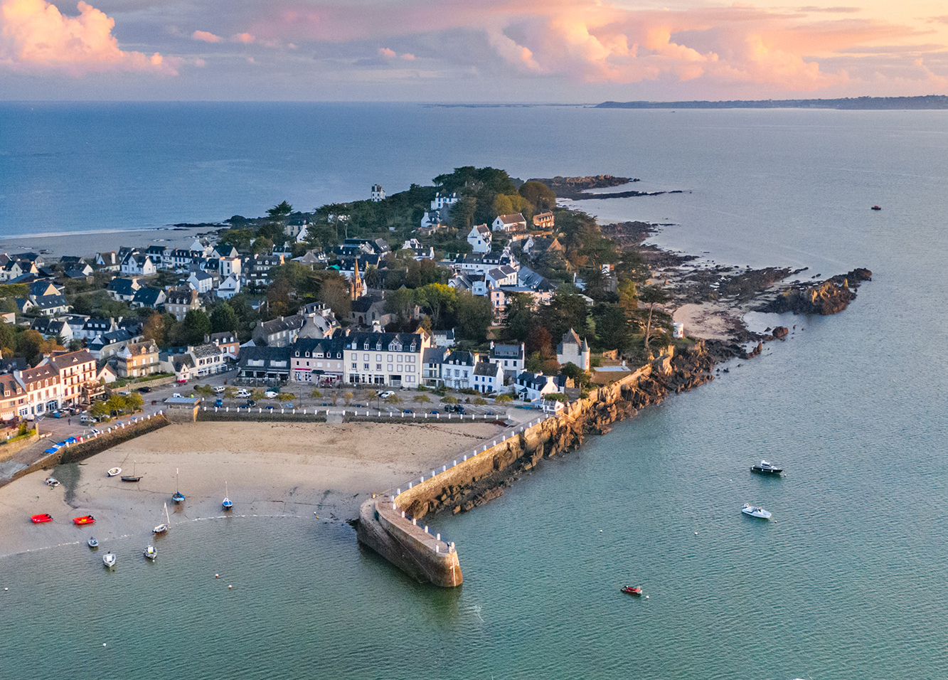
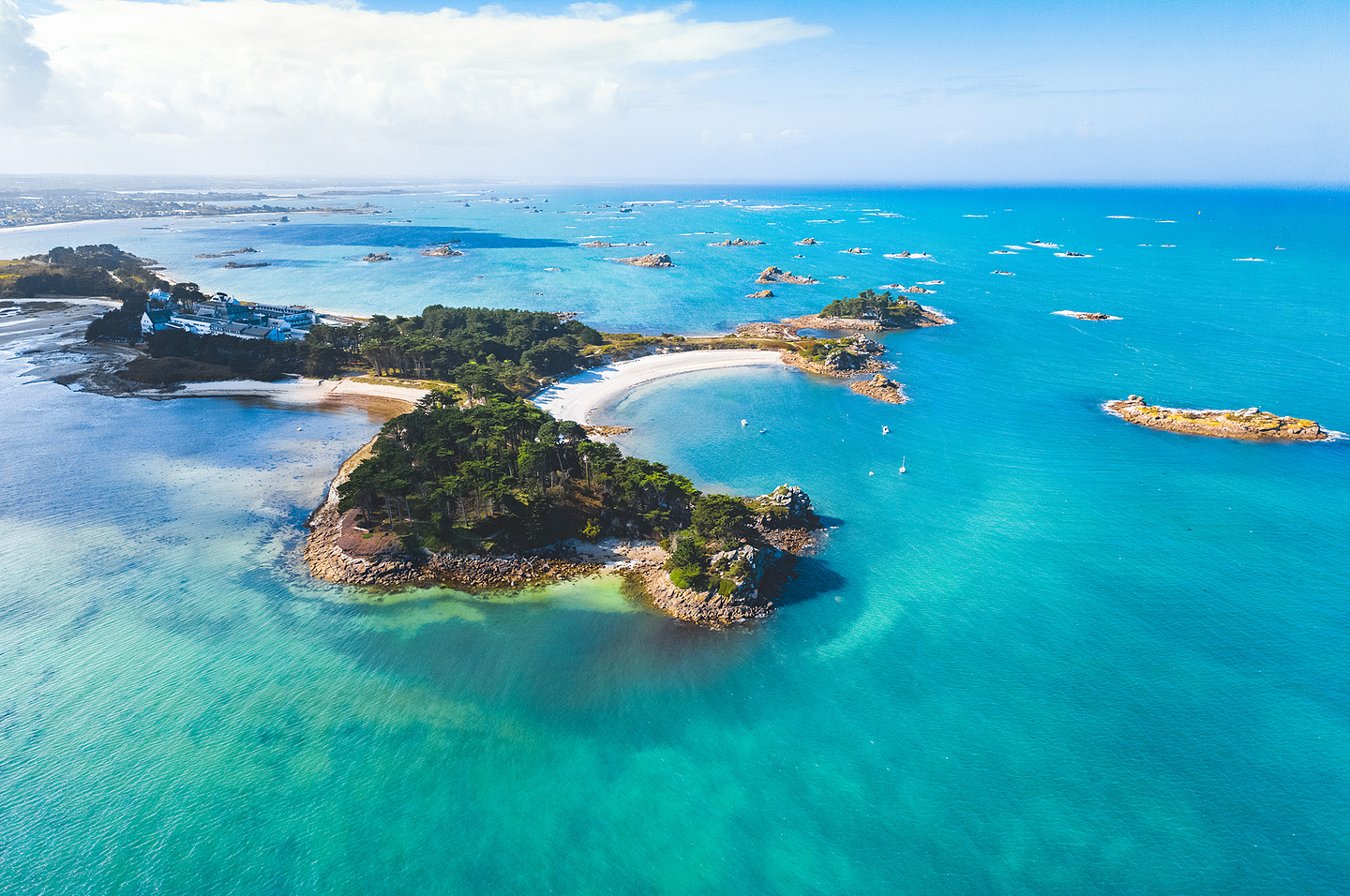
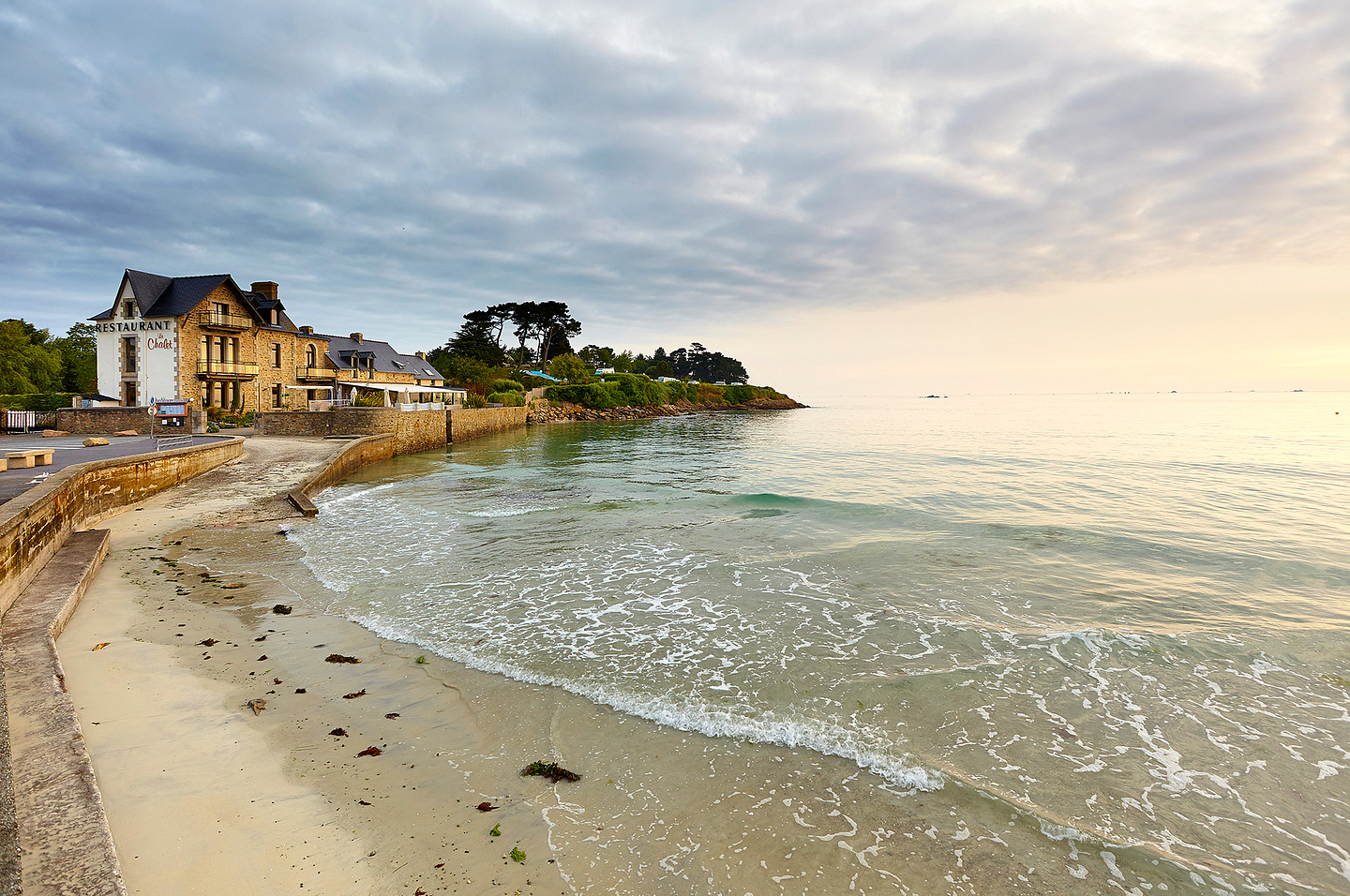
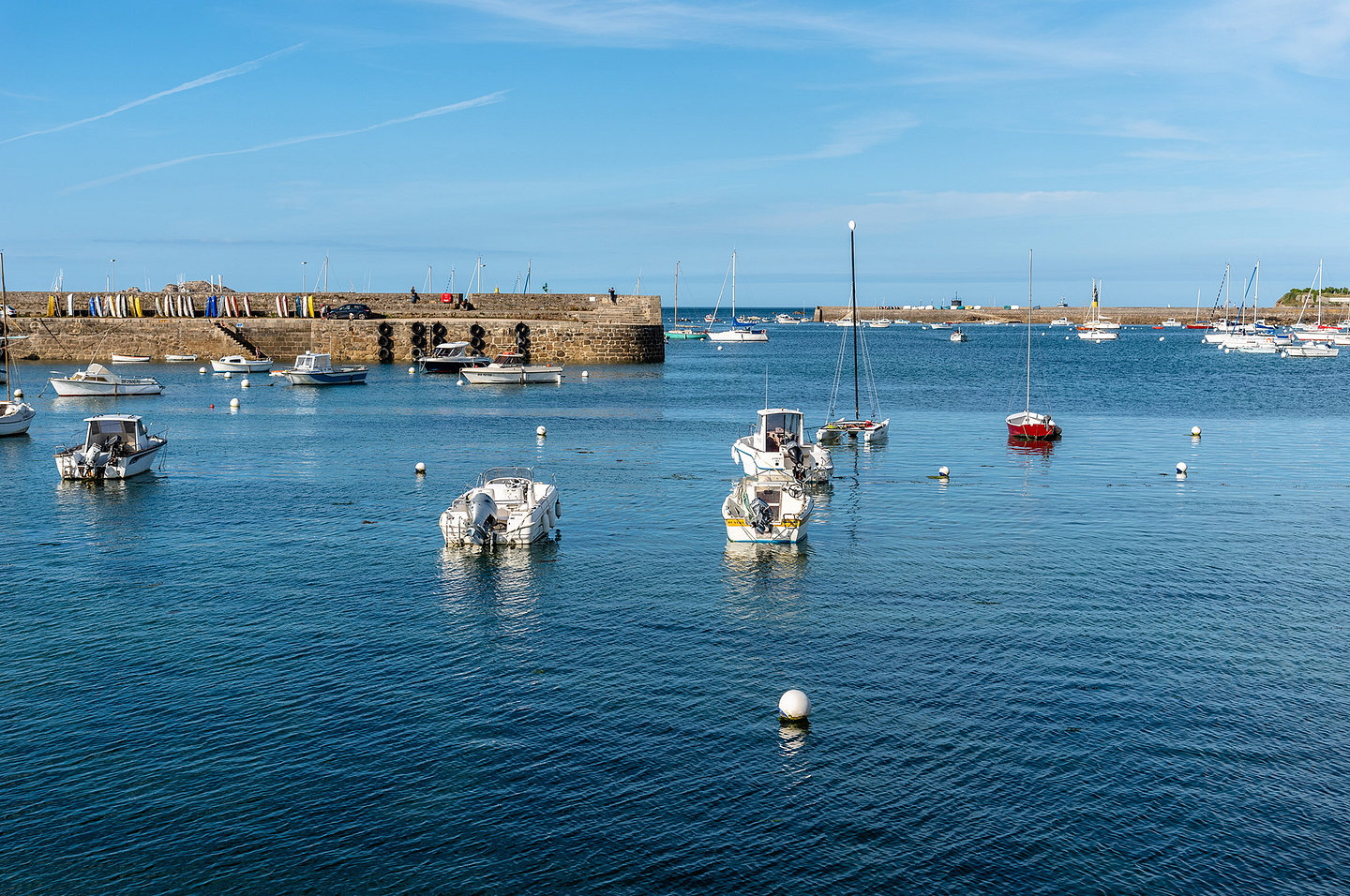
Carantec
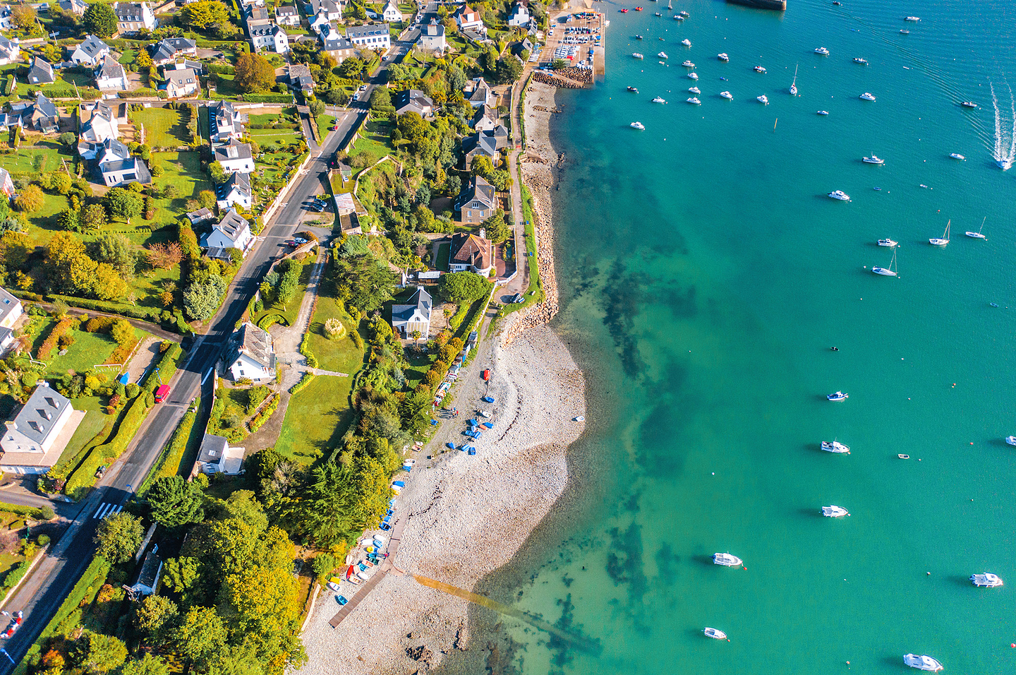
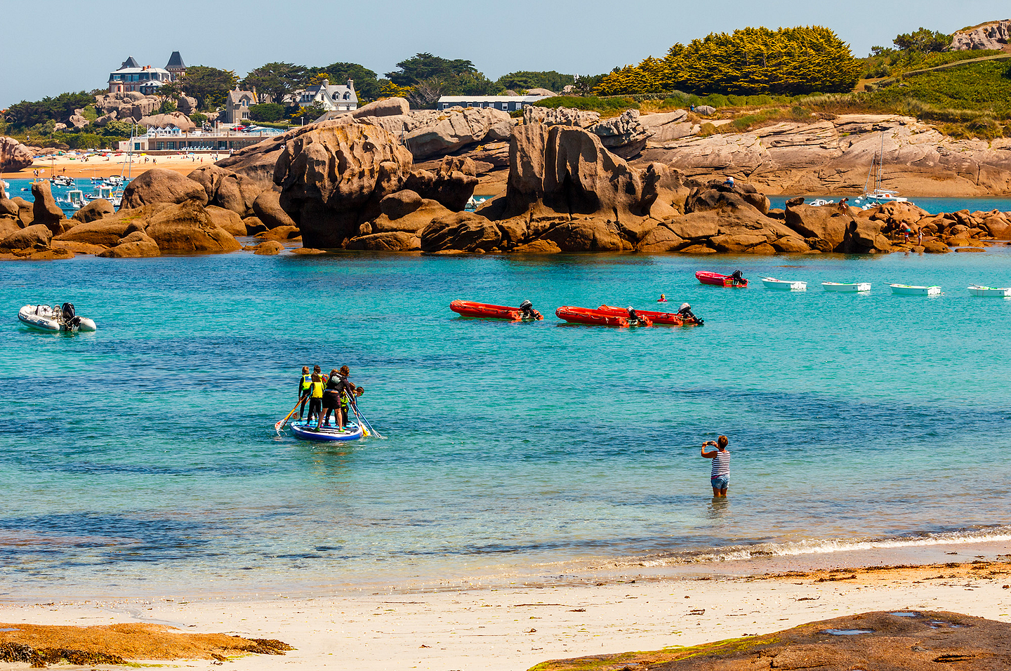
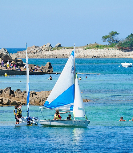
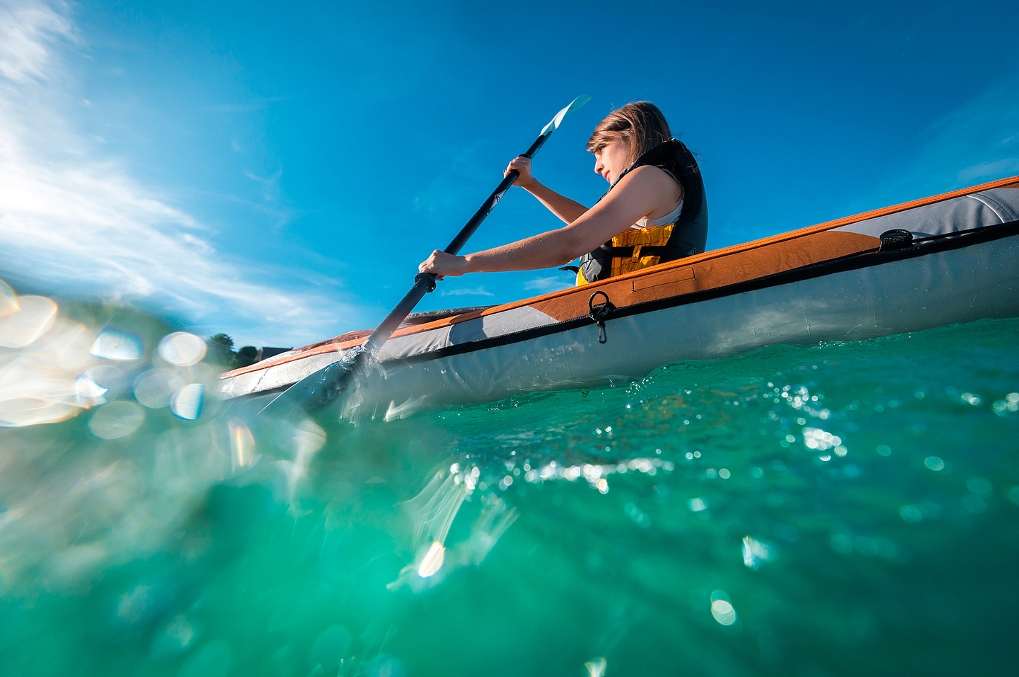
Carantec is a seaside resort located on the northern coast of Brittany in Finistère, in the Baie de Morlaix bay. Built on the headland of a wild peninsula, it faces the towns of Roscoff and Saint Pol de Léon. This town with slightly more than 3,000 inhabitants is popular for its lovely beaches, well preserved buildings and geographical location. It enjoys an exceptional microclimate, which gives it a delightful warmth on sunny days. Le Kélenn, Le Clouet and the Grève Blanche beaches are very popular with lovers of sailing, canoeing and diving.

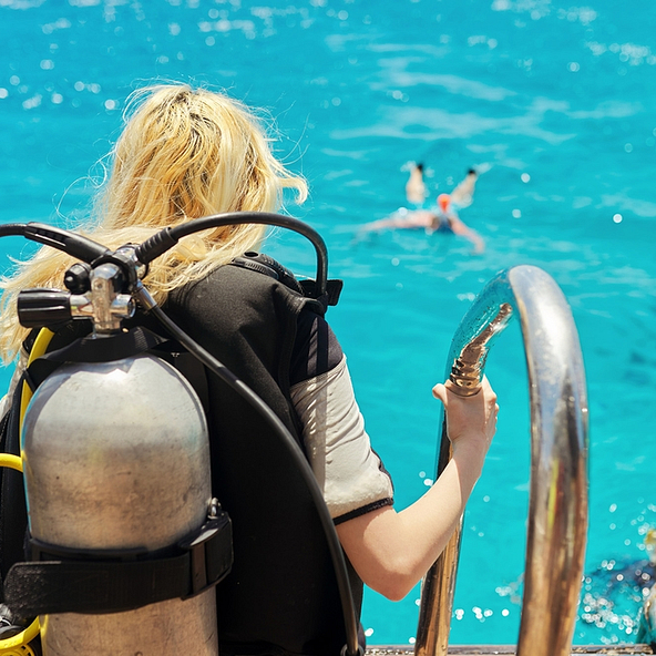
An original way to discover the sea bed, fauna and flora of the coast of Trégor. Leaving from Carantec, lovers of snorkeling spend 1 hour 30 minutes at the surface of the water and meet starfish, laminaria seaweed and even seals (depending on the available programmes). Hikers leave the beach or go on the diving school boat and move, without any particular effort, around the Château du Taureau castle, the islands of the Baie de Morlaix bay or the archaeological site of the Pointe de Primel headland…heavenly! This new recreational activity, accessible to all, should be experienced as a family.
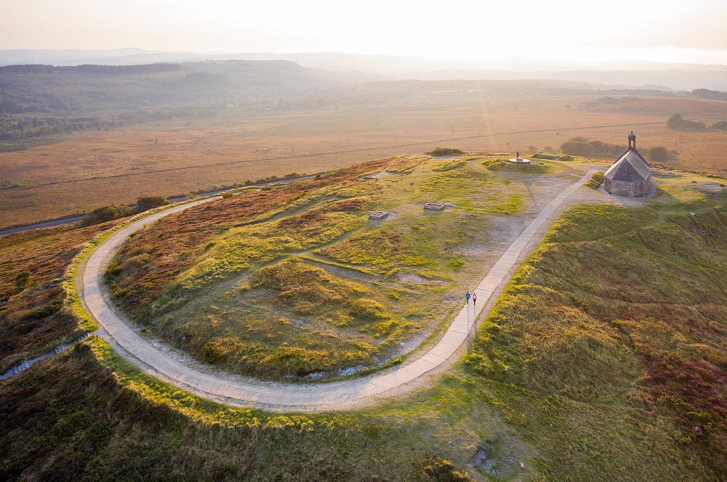
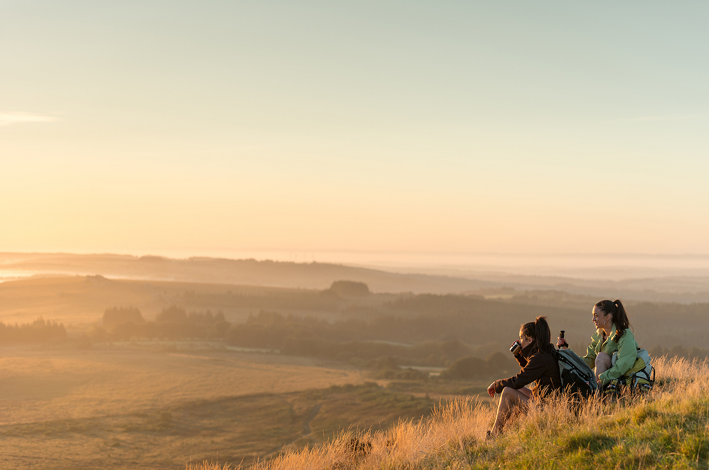
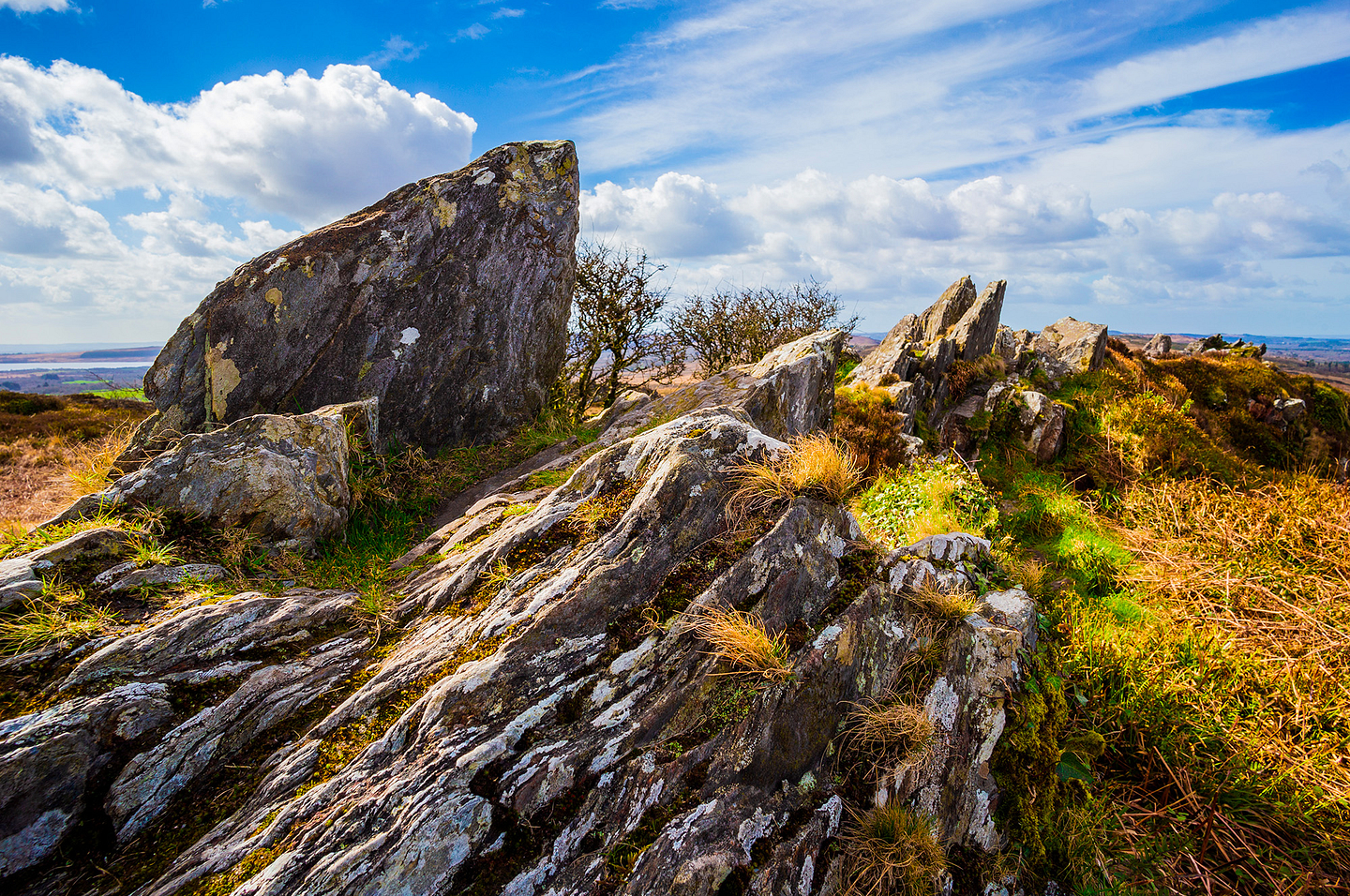
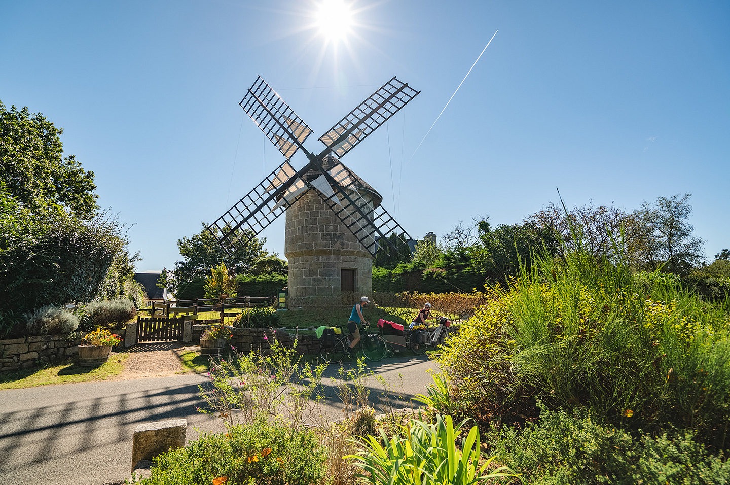
Monts d’Arrée mountains
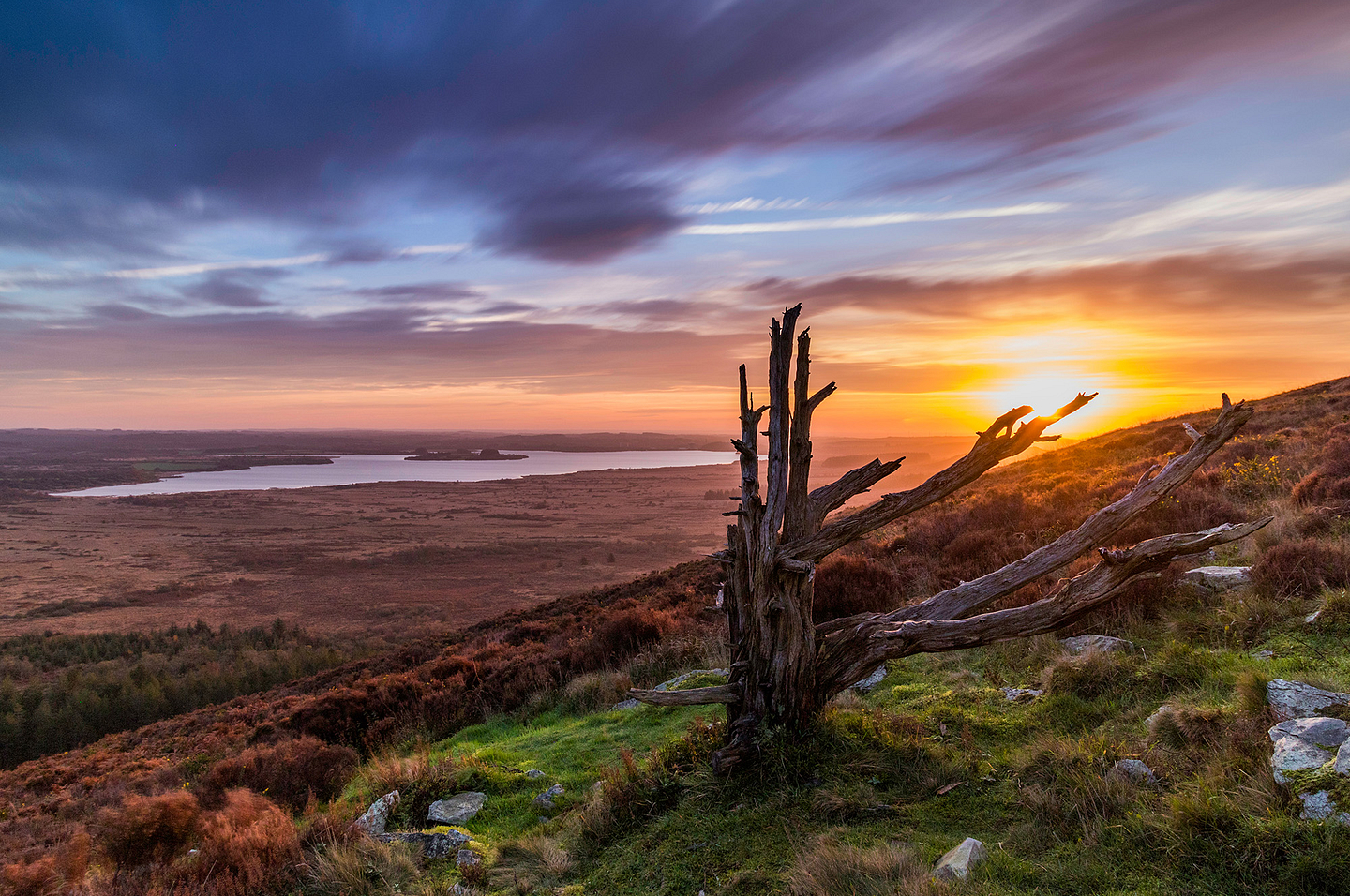
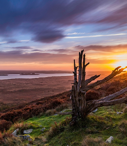
Located in the heart of the Armorican Massif (Massif Armoricain), the Monts d’Arrée mountains are akin to the “roof” of Brittany. Dotted with pines, rocky crests and lakes, they stretch over a surface area of 60,000 hectares, for which the summit, Roc’h Ruz, has an altitude of 385 metres. At this height, the winds often rage furiously, but do not frighten hiking and cycling lovers. Accessible by car, Mont Saint Michel de Brasparts offers, from an altitude of 381 metres, a 360° view over the Monts d’Arrée mountains. Below, you catch a glimpse of a vast stretch of marshes and peat bogs: the Yeun Elez (Ellez marshes) where the famous Youdig, the traditional name designating the gates of hell, is located...There is no doubt you have arrived in the Land of Legends!
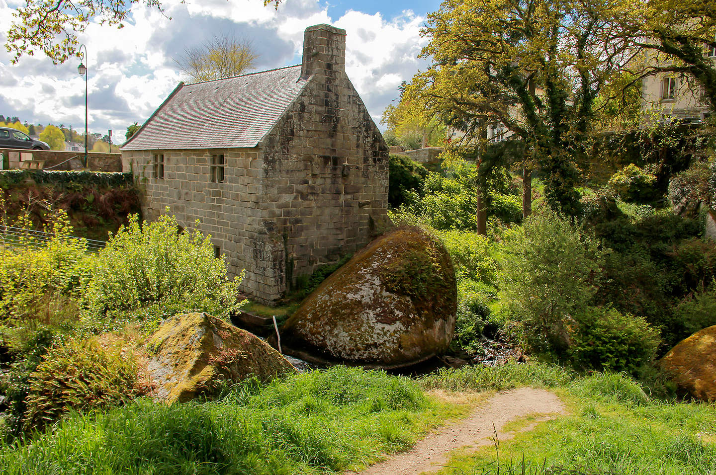
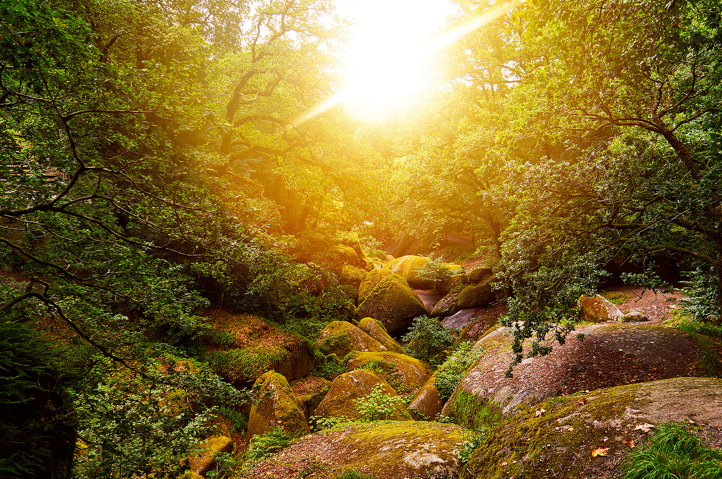
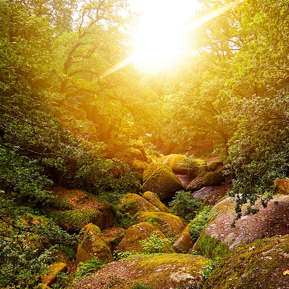
Discover this forest with bewitching colours, which seem to come straight out of your imagination. Do not forget your camera to immortalize yourself by a water course, between its mysterious blocks of granite and rounded rocks. These have given rise to numerous legends and stories. Amongst other things, you will discover the Grotte d’Artus cave, the Grotte du Diable (Devil’s Cave), the Mare aux Fées (Fairy’s cave) and even the Gouffre de Huelgoat cave, overlooking the so-called “silver river”. However, the Huelgoat forest has many other surprises and exceptional places…
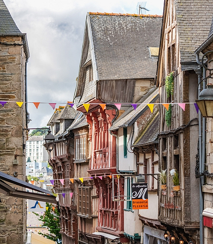
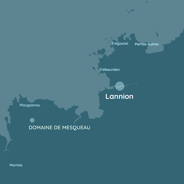
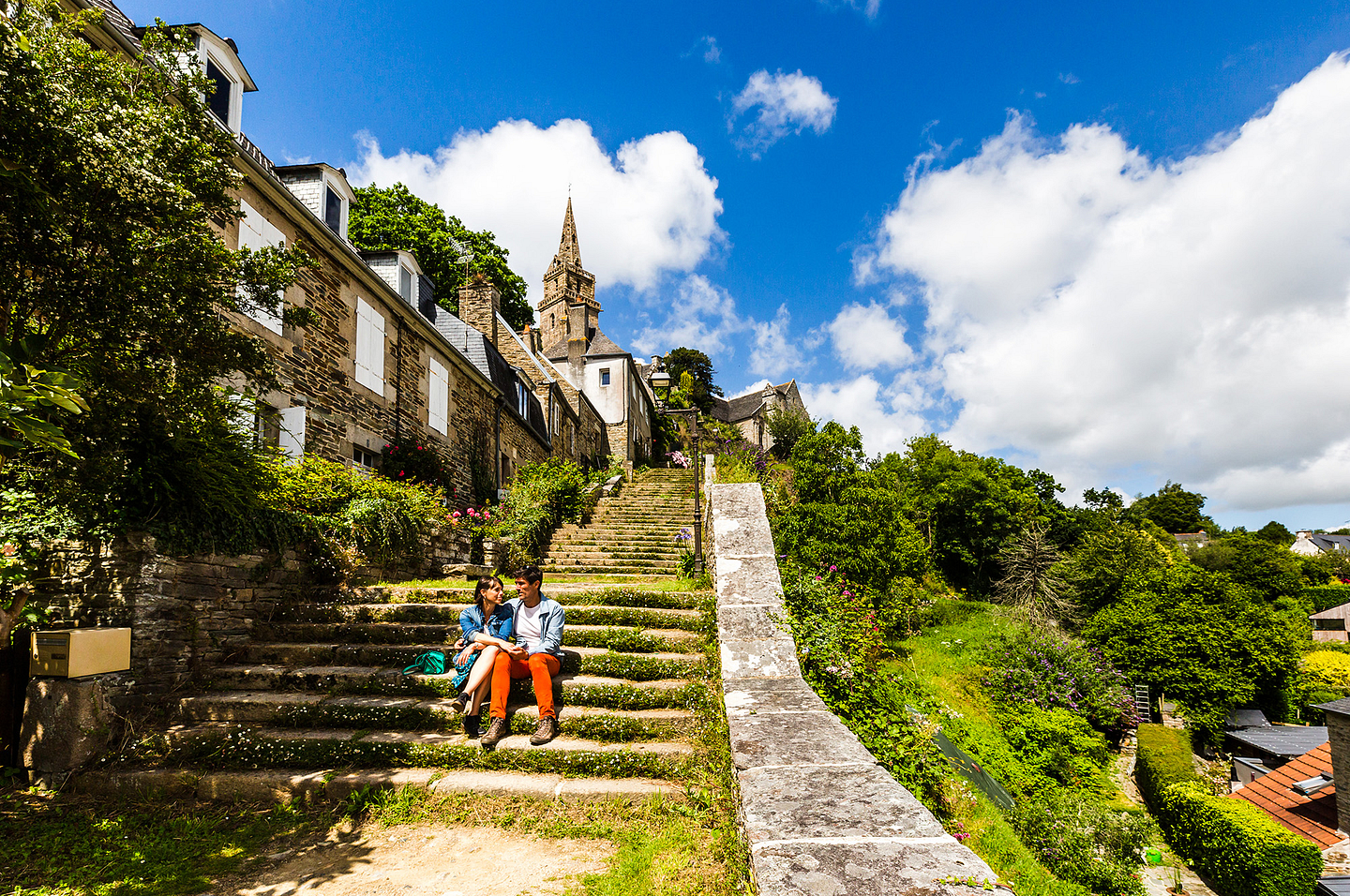
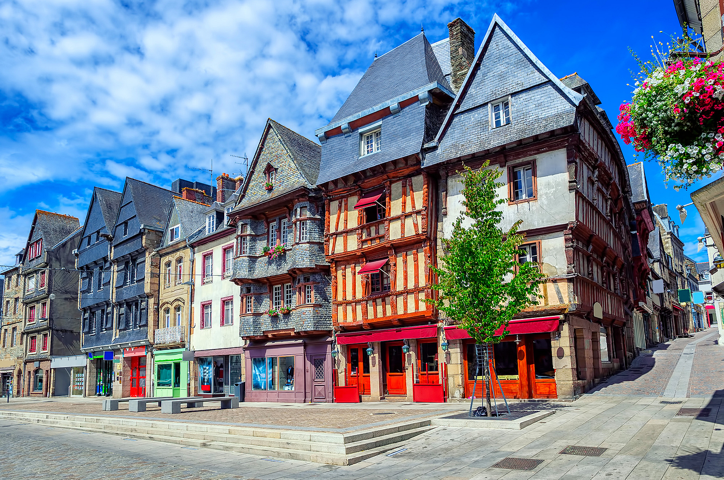
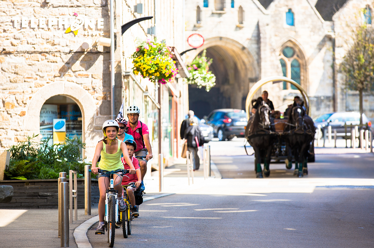
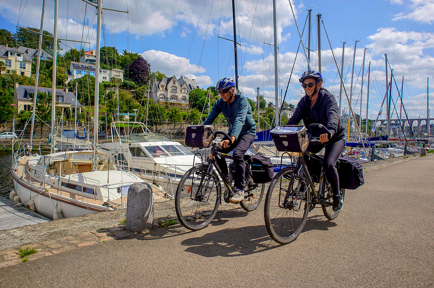
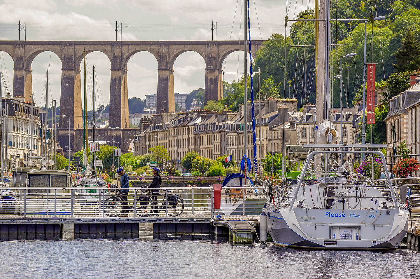
Lannion
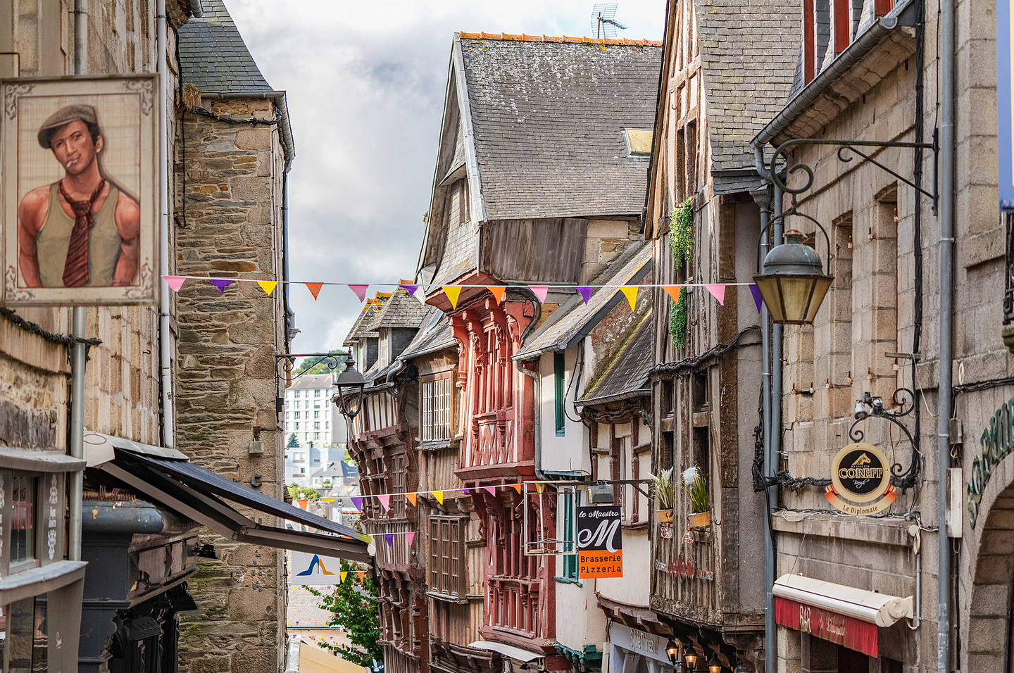
Lannion is the capital of Trégor. It is a town with a rich historical heritage and the gateway to the Côte de Granit Rose (Pink Granite coast). Nowadays, the town elegantly combines tradition and the modern. Grand town houses, country houses and a former convent and cloisters offer a subtle architectural array here, whilst its science and technology park brings a wave of innovation and energy to the life of the town.
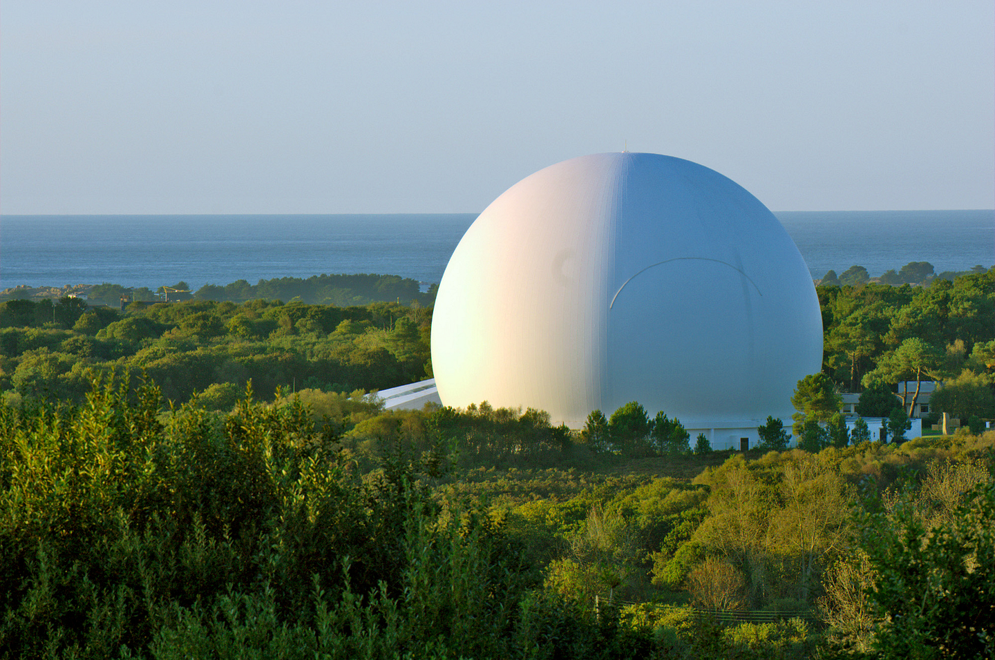
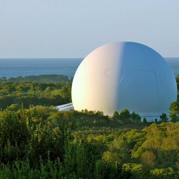
The Cité des Télécoms is a museum, managed by the Orange Foundation (part of the Orange group). Located not far from Lannion, in Pleumeur Bodou, each year it welcomes nearly 100,000 visitors who come here to discover and learn more about the telecommunications technologies of yesterday, today and tomorrow. The fantastic architecture catches your eye from afar, in particular with its antennae, and large “white bubble”, the Radome, where you can go to an excellent show. A highly informative and entertaining museum, not to be missed!
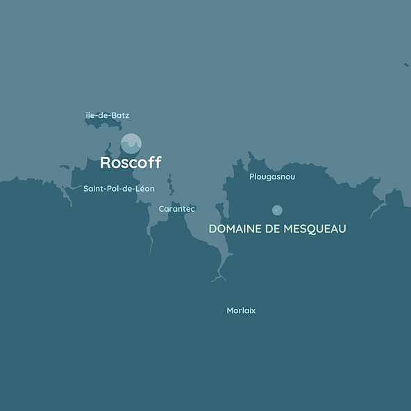
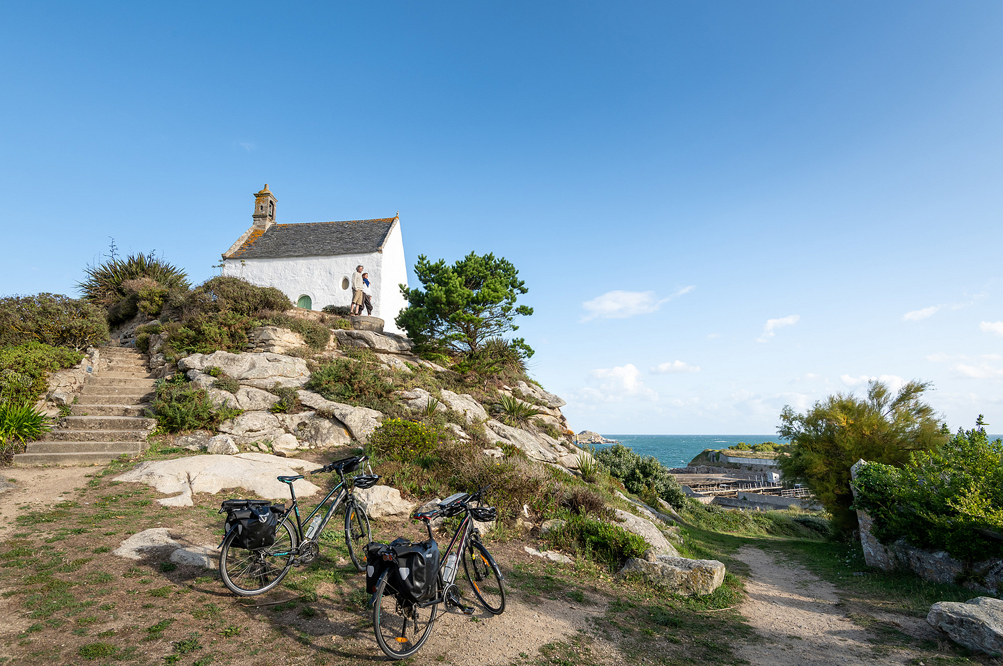
Ile de Batz island
15 short minutes by boat after leaving Roscoff and there you have it...
The Ile de Batz island reaches out to you, with its guardroom, lighthouse, exotic gardens and Saint Anne chapel. A location cut off from the world, ideal to recharge your batteries and make the most of the warm hospitality of the Batz inhabitants.
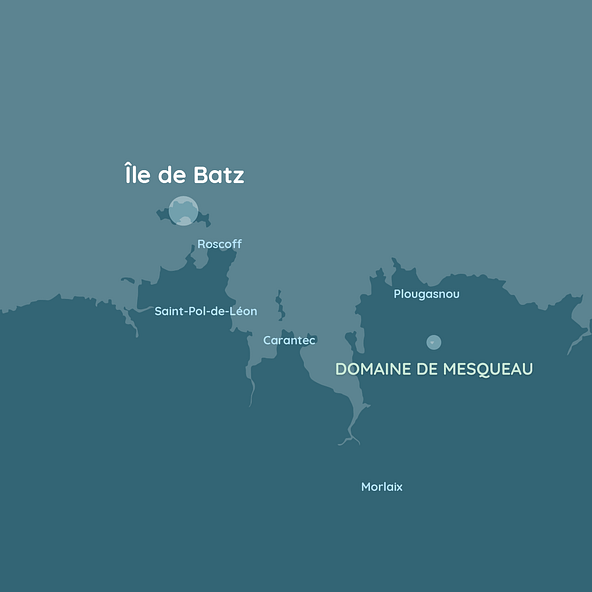
Don’t leave your day of exploring the Ile de Batz, without going via the legendary “Toull ar Zarpant” or “Trou du Serpent“ in French (“Serpent’s Hole”). Located to the west of the island, this is a mystical location. Legend has it, Paul Aurélie, the future Saint Paul de Léon, is thought to have overcome a terrifying dragon here in the 6th century.
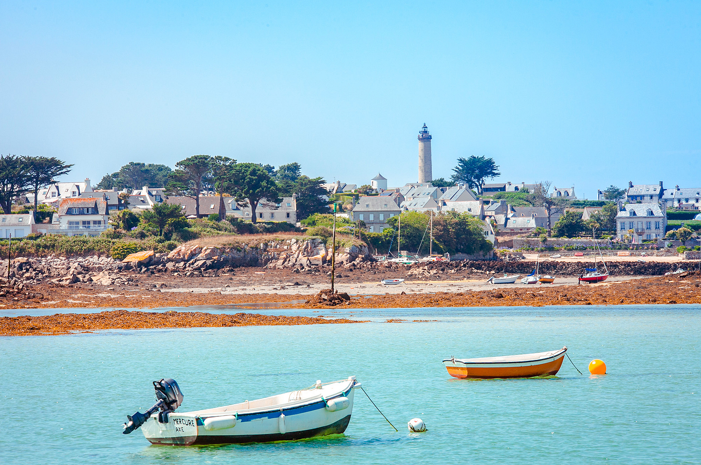
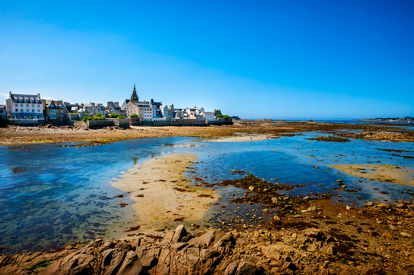
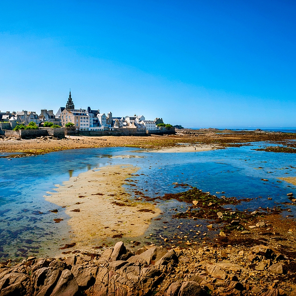
Saint Pol de Léon
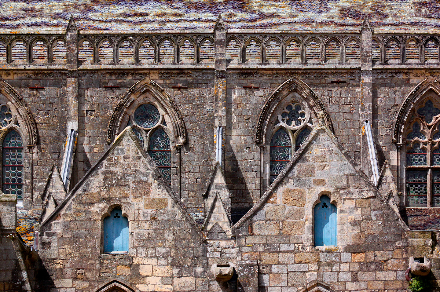
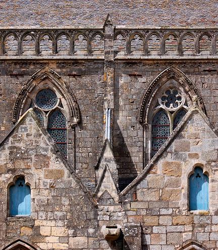
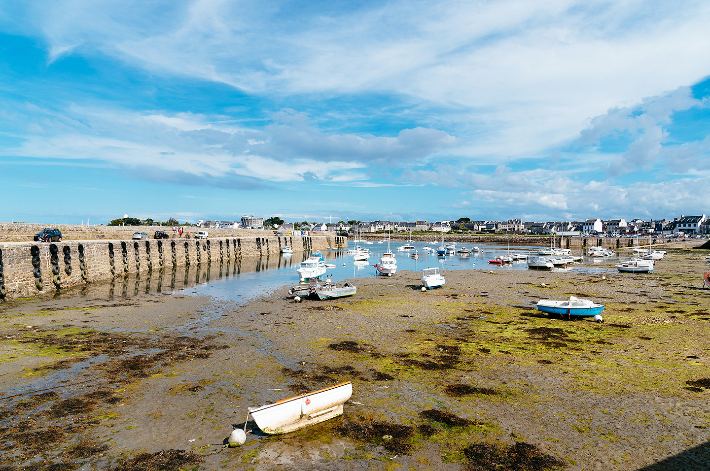
Saint Pol de Léon possesses the charm of a port town, and is amongst the most picturesque towns in Brittany. It spreads out along the Finistère coast and some 13 kilometres of sandy beaches are revealed to its visitors. Although it has a remarkable historic and religious heritage to the greatest pleasure of those passionate for art and history, it also offers a multitude of seaside and water sports activities. This delights lovers of the sea and beaches. An incredible nature reserve is also visible, in the heart of the bay, home to a wide variety of sea birds. Saint Pol de Léon is known too for being the leading vegetable-growing area in Brittany, notably renowned for the production of cauliflowers and artichokes. Sampling regional cuisine, or visiting research centres or laboratories given over to agriculture, are other ways to enjoy its charm.
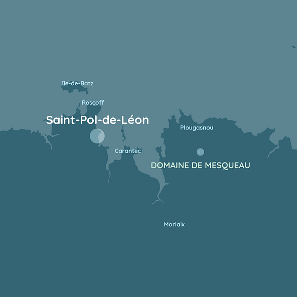
There is plenty to see in the port town of Saint Pol de Léon. Amongst the must-sees feature the old port of Pempoul, the starting point for shipowners’ fleets in the Middle Ages. In the heart of old Saint Pol de Léon, you will also discover lovely granite residences, the town hall, the Maison Prébendale (canons’ house) and even the Kermenguy grand town house, adorned with a corbelled turret (16th century). Thanks to its remarkable religious past, Saint Pol de Léon has unique architecture. The cathedral basilica built between the 13th century and the 16th century, and the Notre Dame du Kreisker chapel, 80 metres high and surpassing all of the region’s church towers, are the most striking.
Roscoff
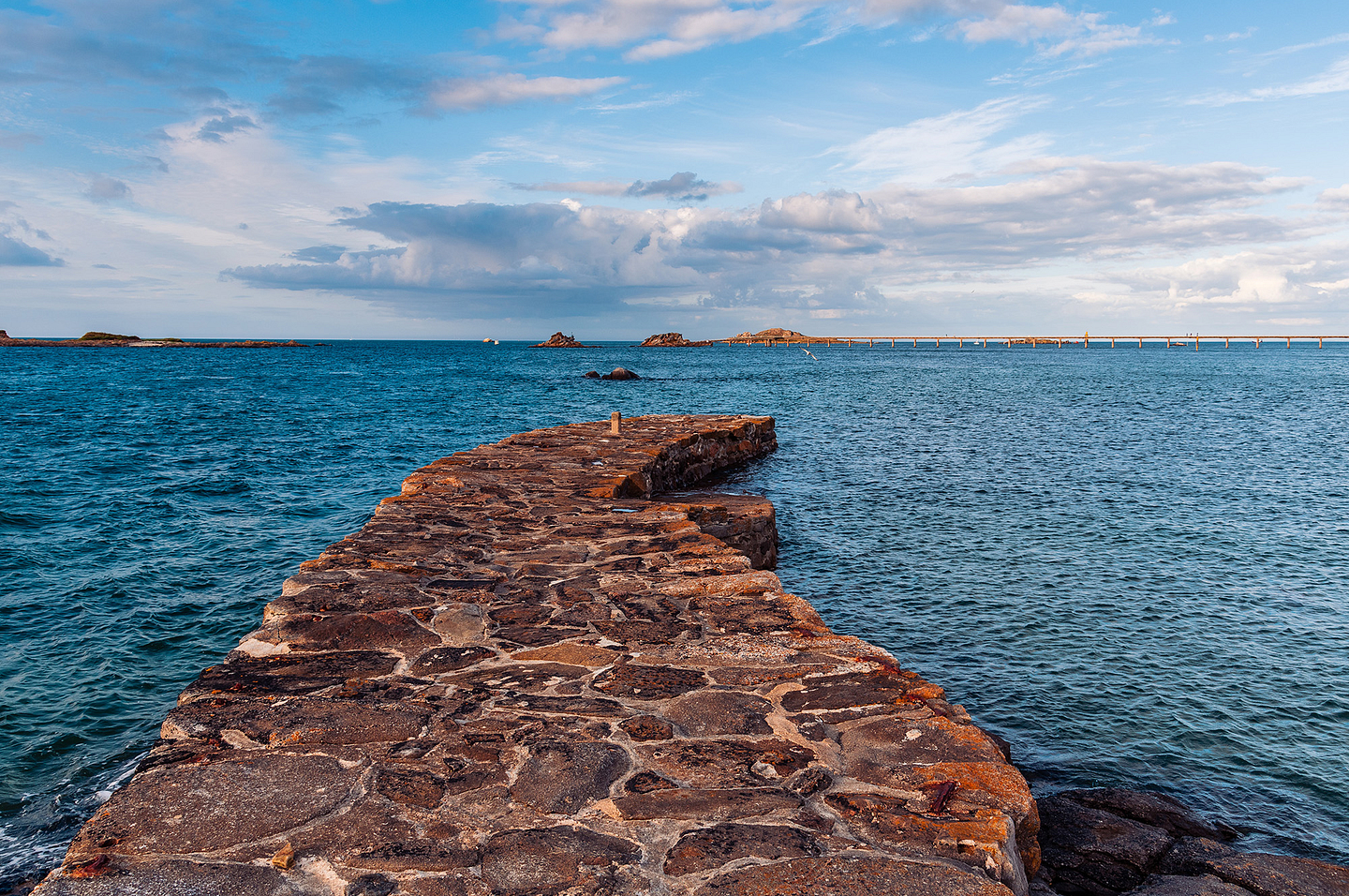
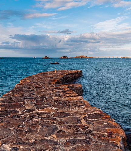
Go to the Baie de Morlaix peninsula to reach the delightful town of Roscoff in Northern Finistère. Formerly a lair for pirates and smugglers, the old town abounds in history and places of interest. From the lighthouse to the church, taking in the 17th century ramparts or even the pepper pot tower (poivrière), take time to discover all the secrets before ending with a sunset on the pier looking towards the Ile de Batz island.
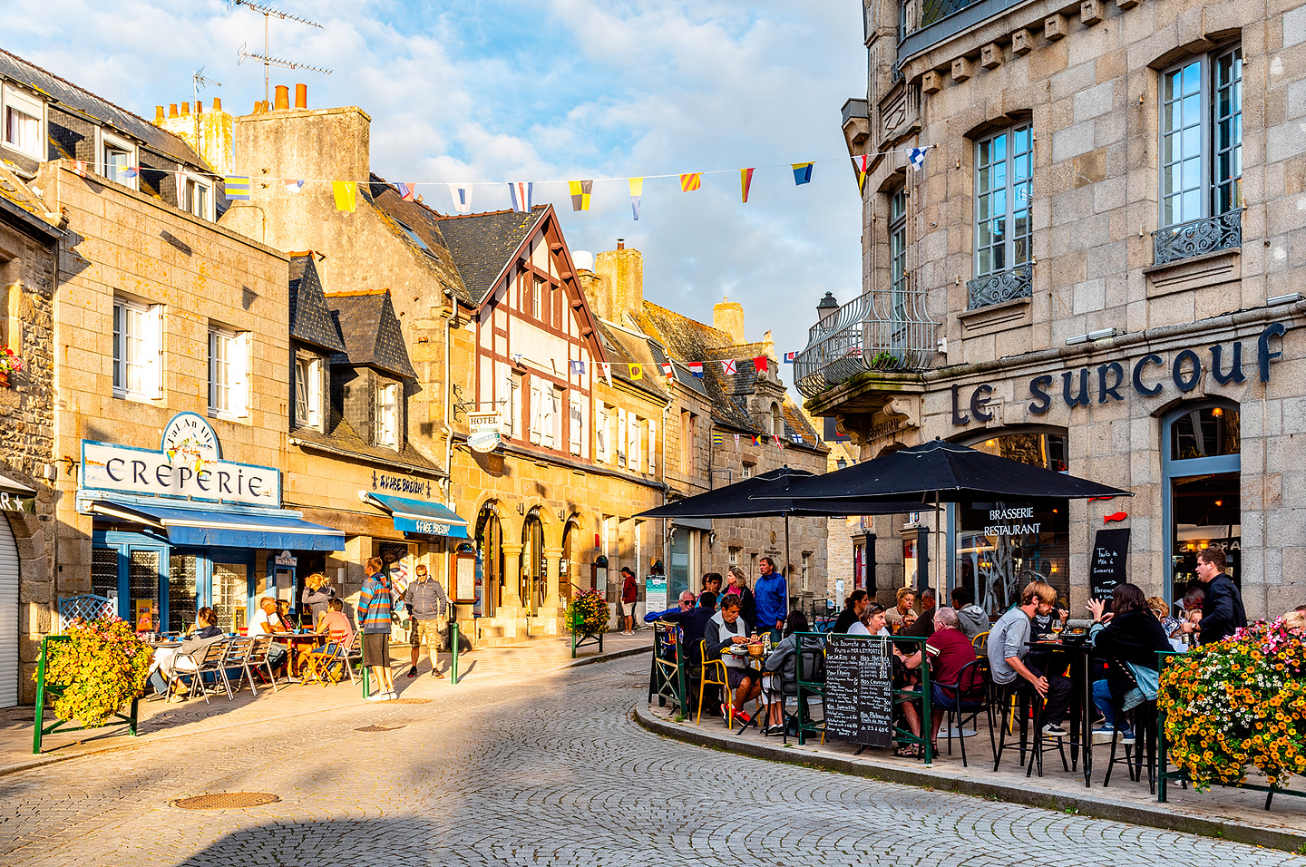
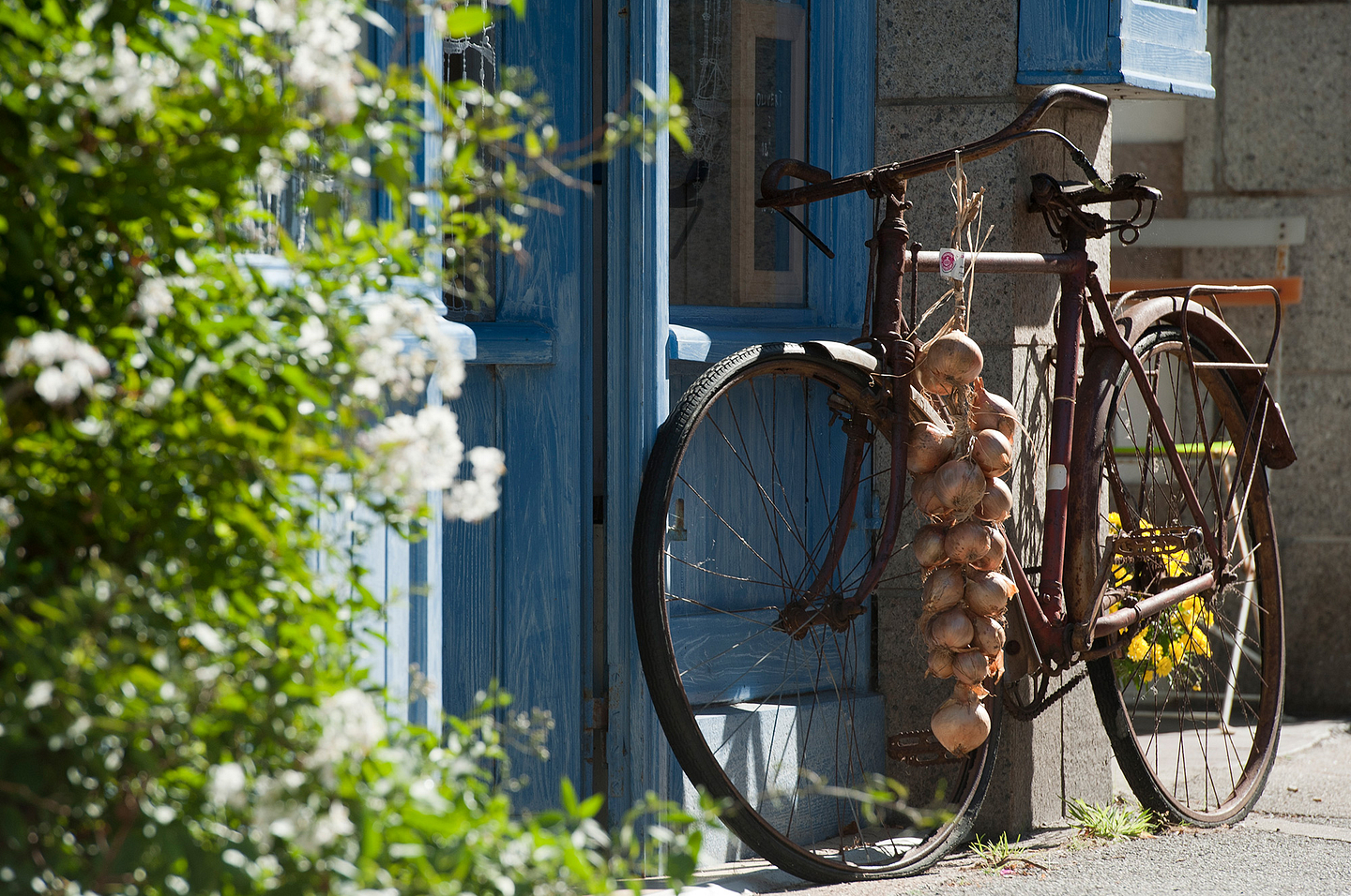
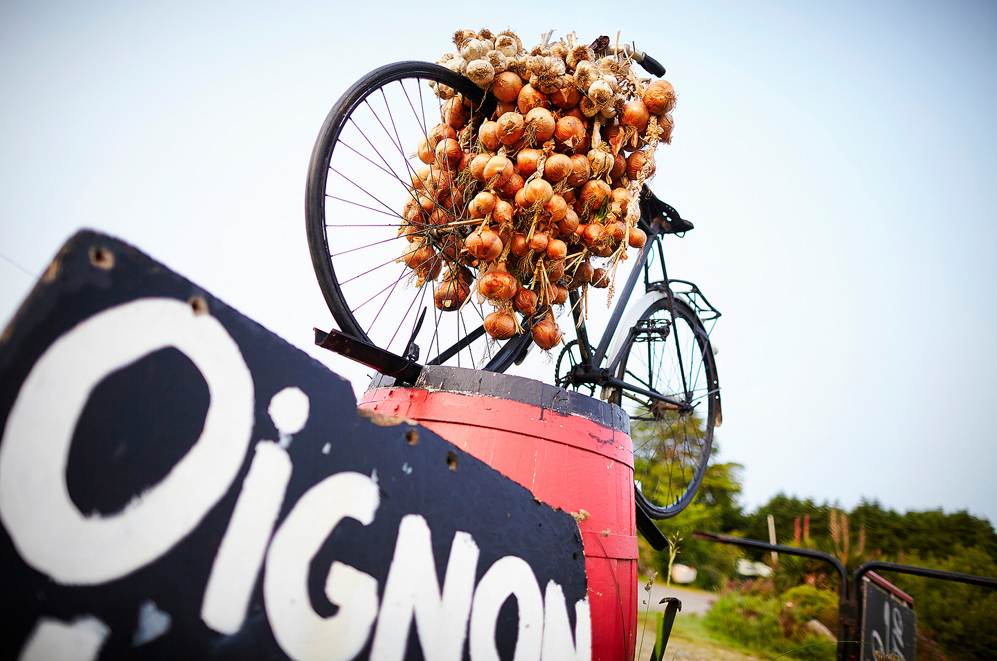
Your trip to Roscoff is the perfect occasion to discover its preserved heritage. A short walk in the heart of the town is essential to admire the authentic pink granite residences, the listed buildings – the House of Mary Stuart (Mary, Queen of Scots) and the 16th century Notre Dame de Croaz Batz church, with superb multi-coloured décor. Stop at the Criée (fish auction) and then at the Maison des Johnnies et de l’Oignon de Roscoff. The latter is a museum providing a history of local producers, who sold pink onions in Great Britain. The Jardin Exotique et Botanique de Roscoff exotic gardens, the Sainte Barbe peninsula, and the old port are also worth several visits.
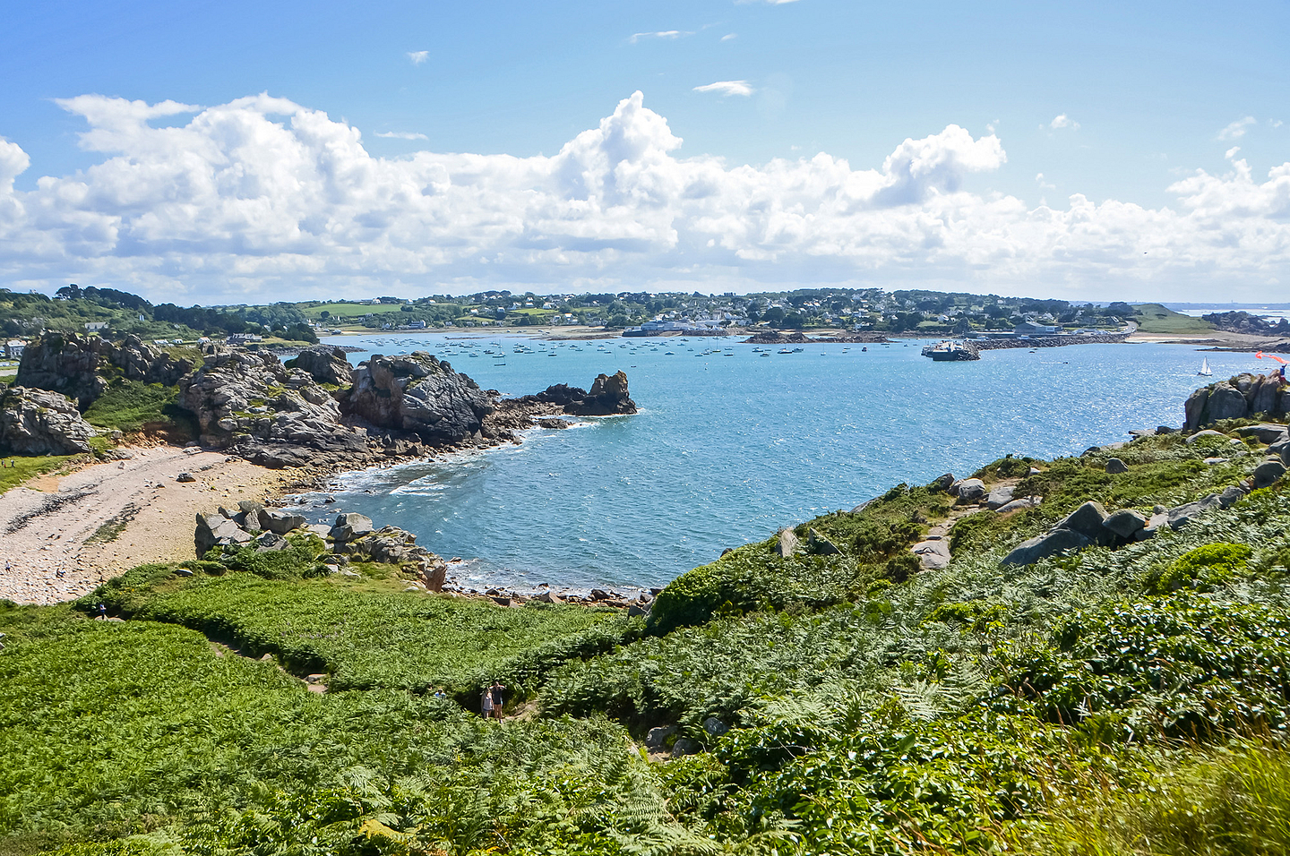
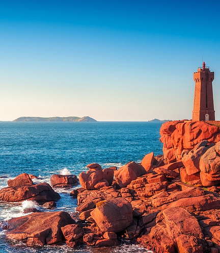
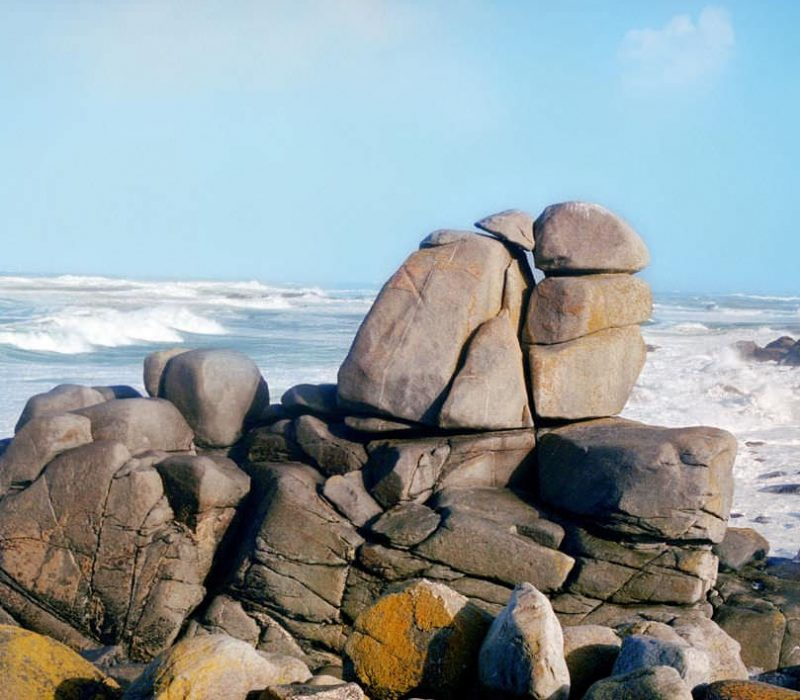
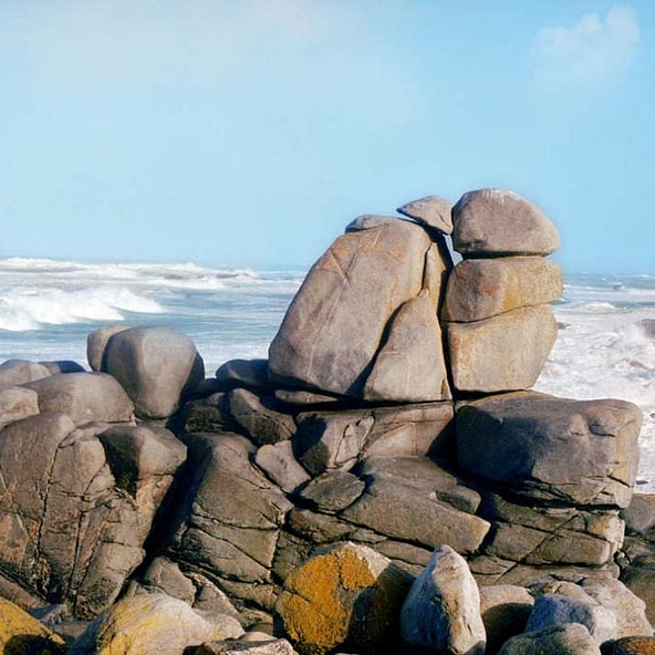
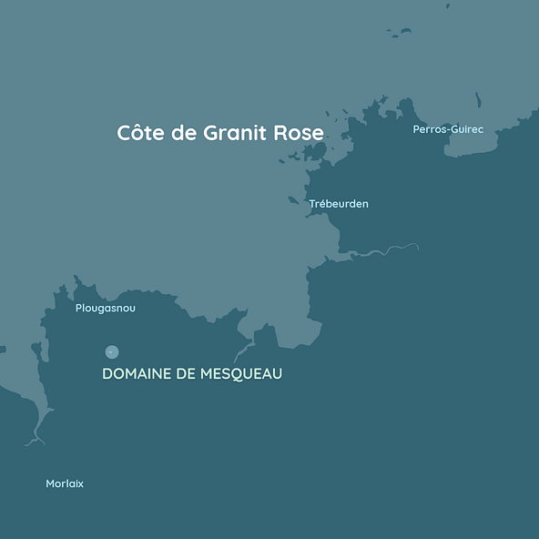
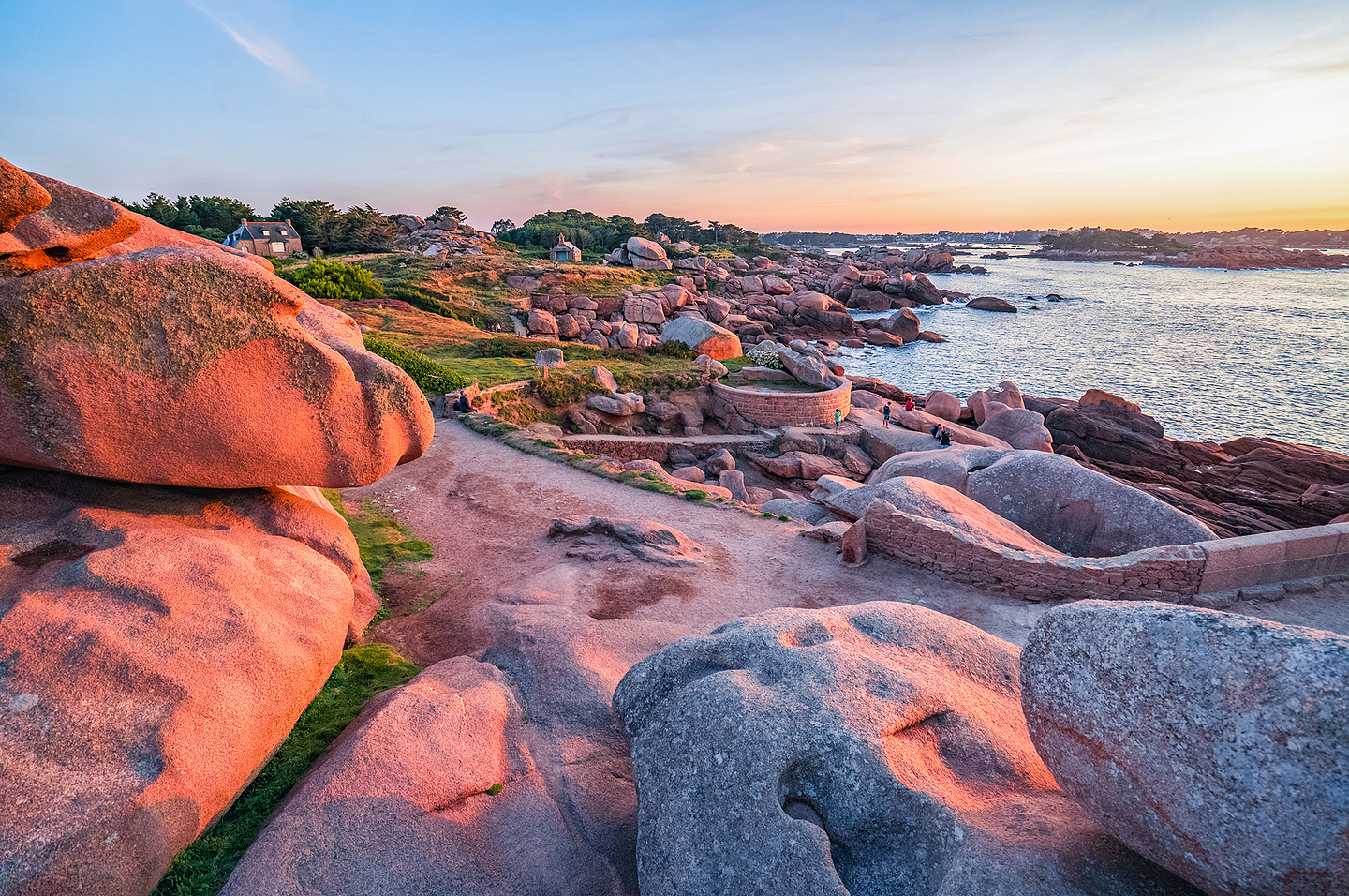
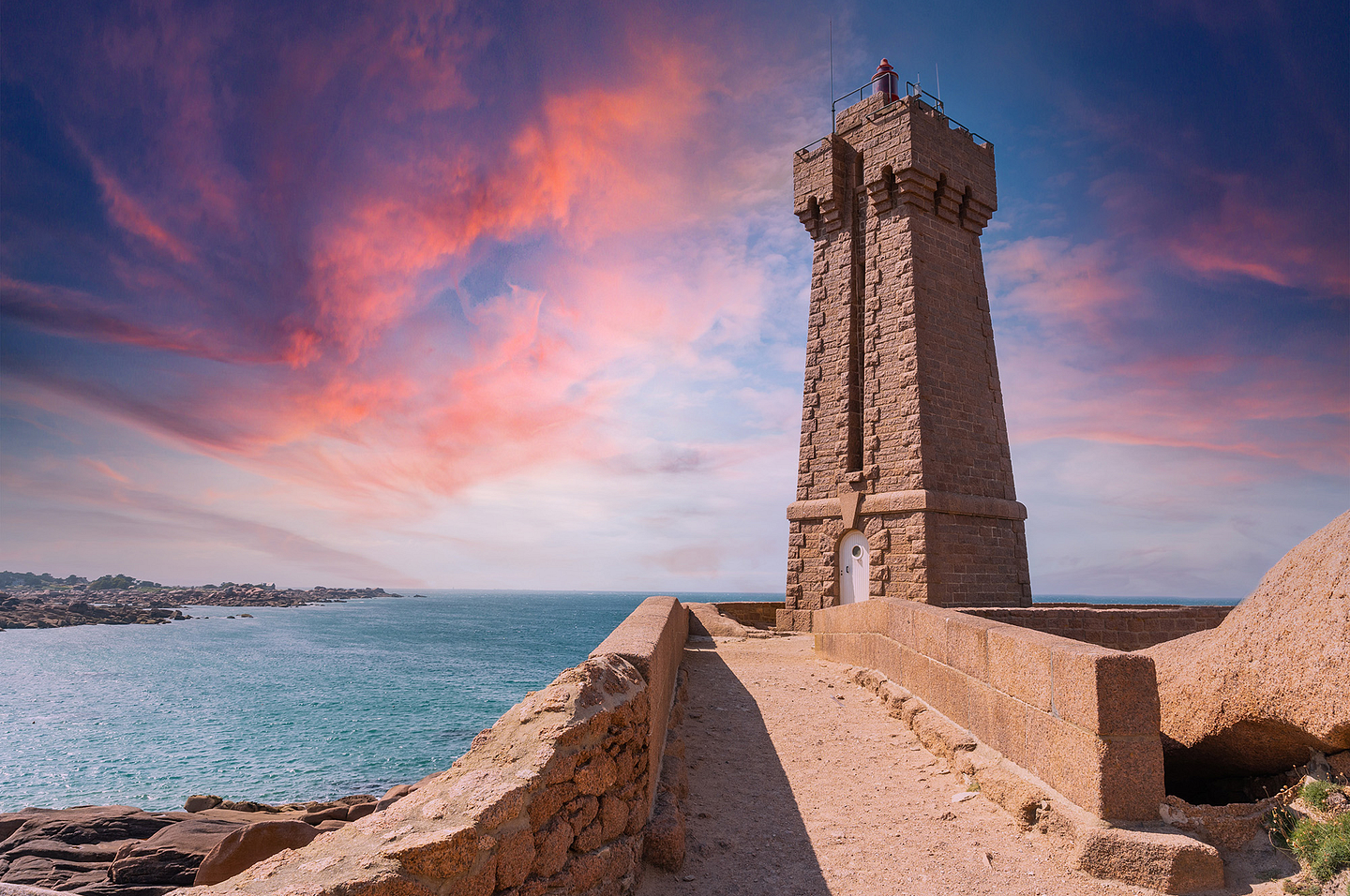
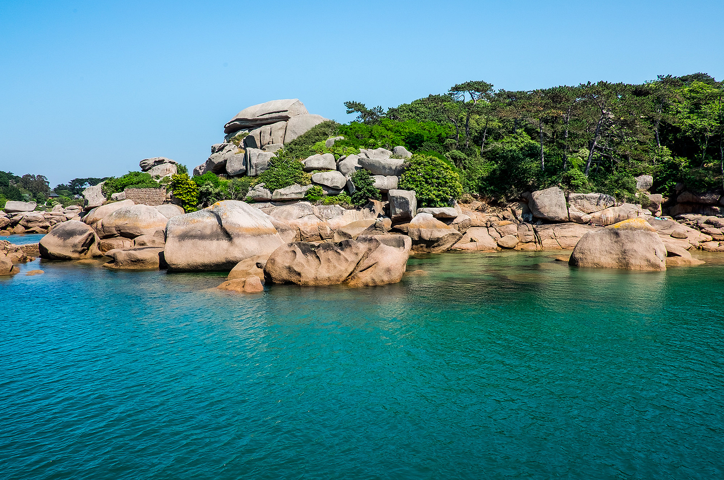
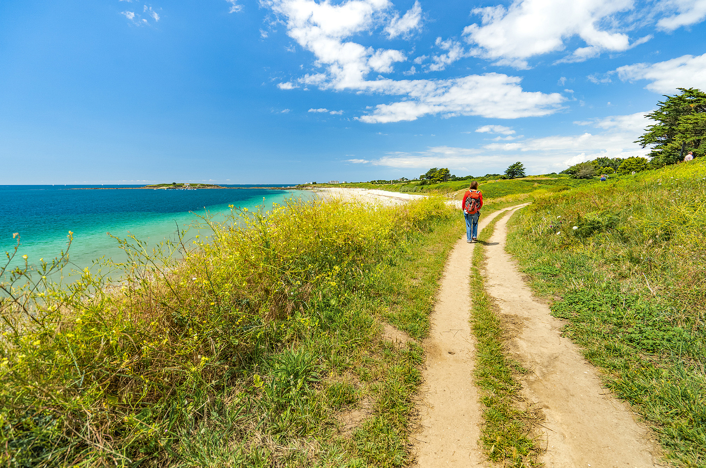
Côte de Granit Rose (Pink Granite coast)
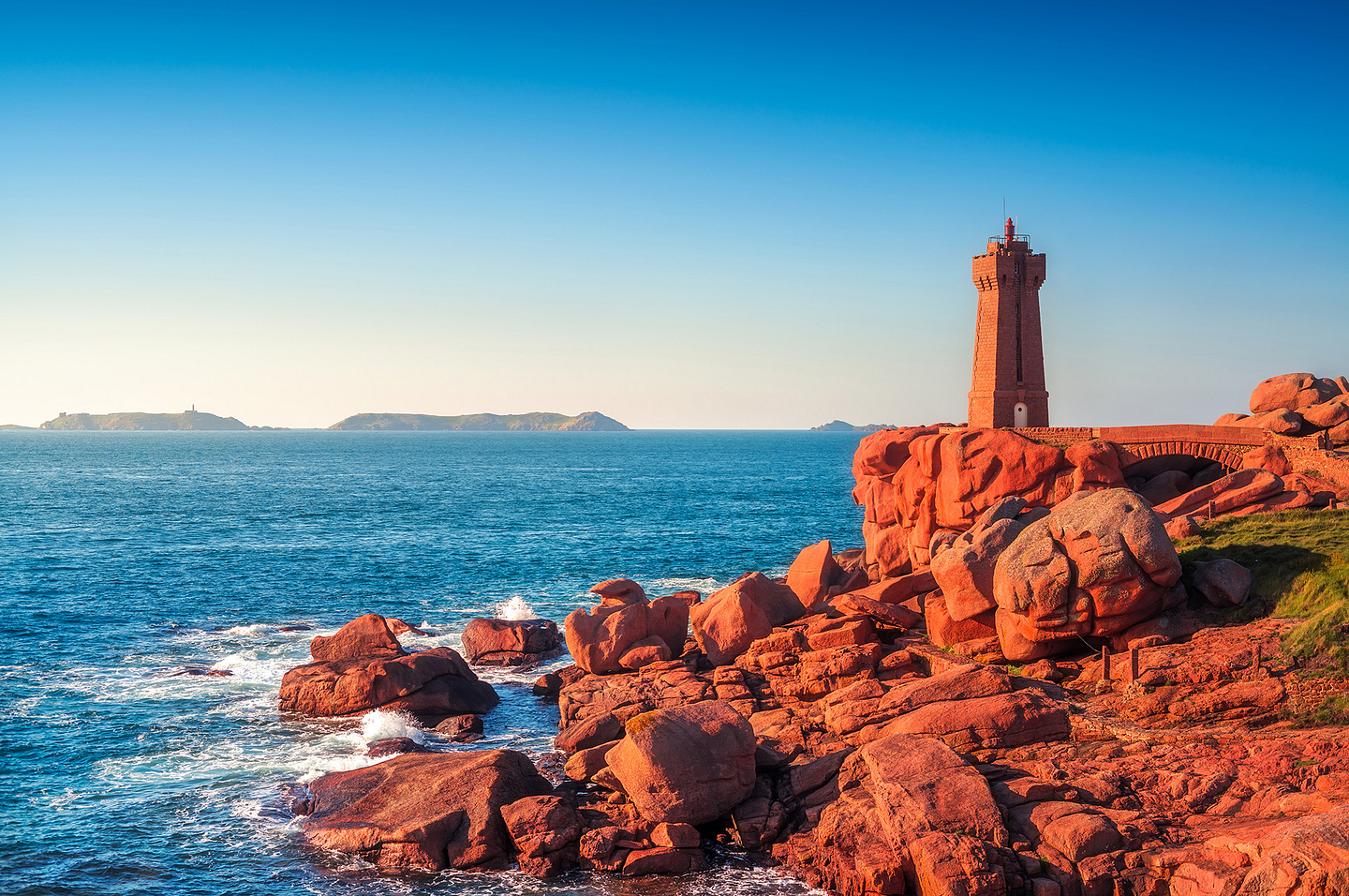
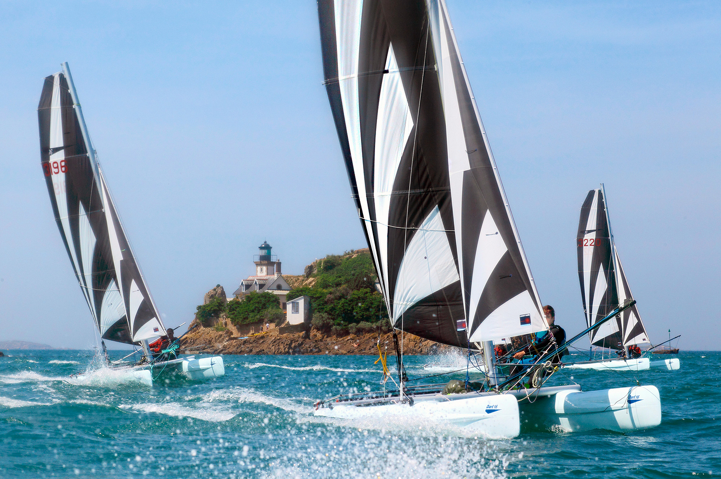
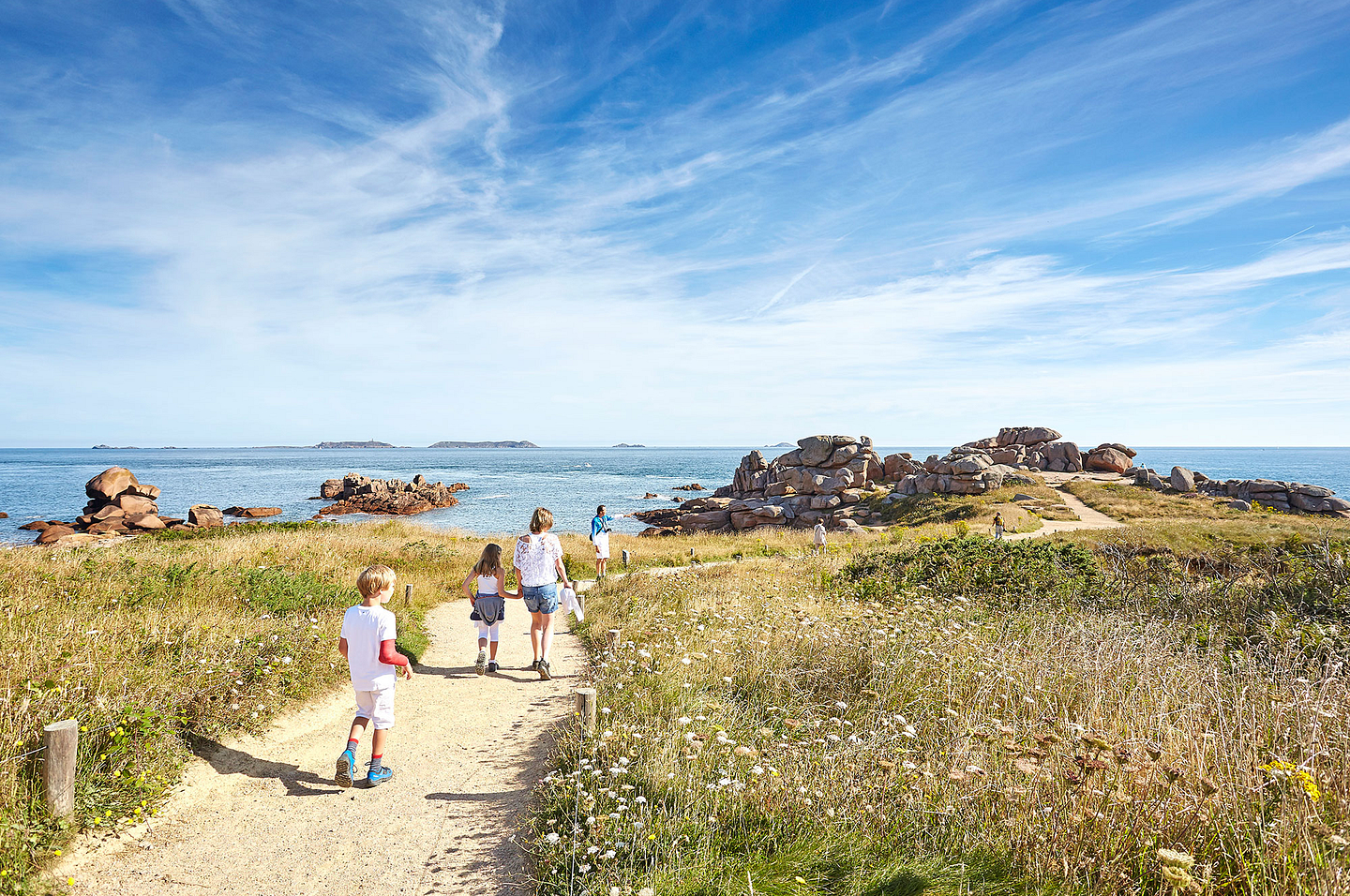
The Côte de Granit Rose (Pink Granite coast) is one of the loveliest coasts in France. Although inevitably it is one of the treasures of Brittany, it does not suffer from mass tourism, and you can walk there in complete peace! Over 10 or so kilometres, from Trébeurden in the west to Perros Guirec in the east, the Côte de Granit Rose (Pink Granite coast) is unmistakeable. Here, blocks of granite are everywhere. Sculpted by the sea and the wind over millions of years, these blocks have taken the most unlikely forms, but it is the unique colour for which the coast is renowned. Here, the granite is made up of a clever mix of mica, feldspar and quartz, which gives it this unique colour ranging from red to bright pink to brown!
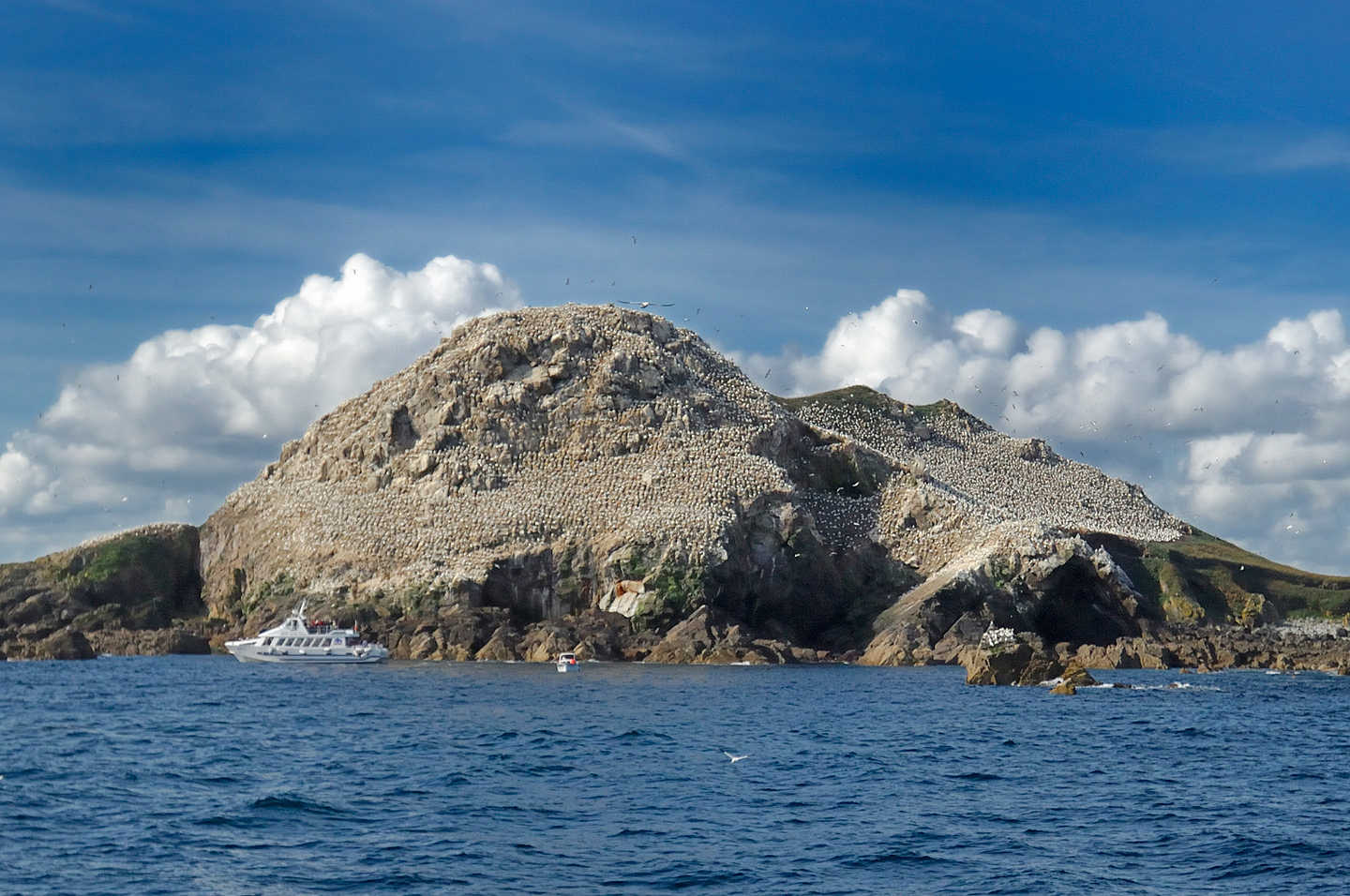
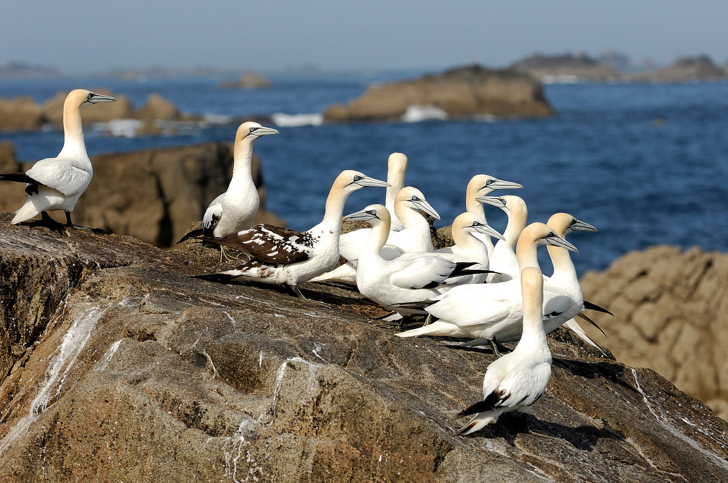
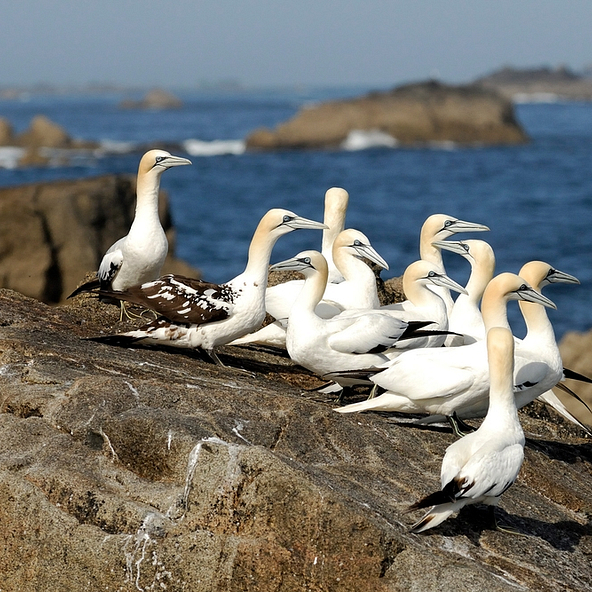
Leaving from Perros Guirec port, go on a launch to admire the Côte de Granit Rose (Pink Granite coast) offshore. Also discover the Archipel des 7 Iles (Seven Islands Archipelago), the most important nature reserve in France where seagulls, black-headed gulls, cormorants, puffins and various northern gannets co-exist.
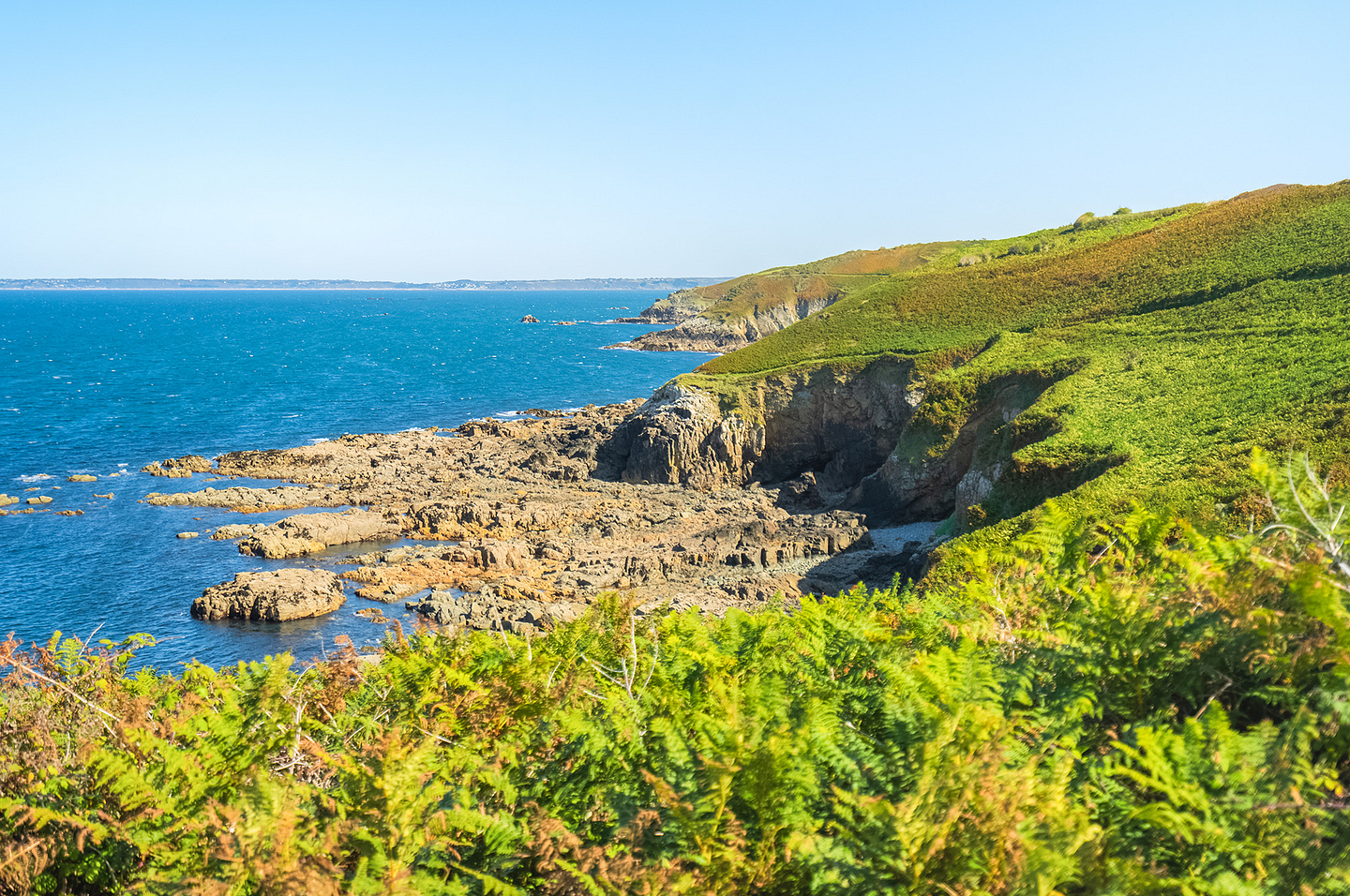
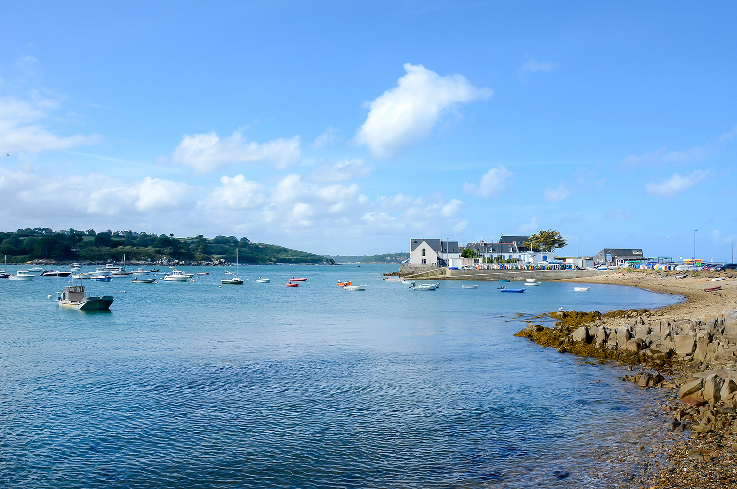
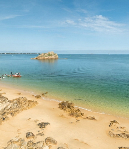
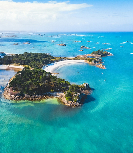
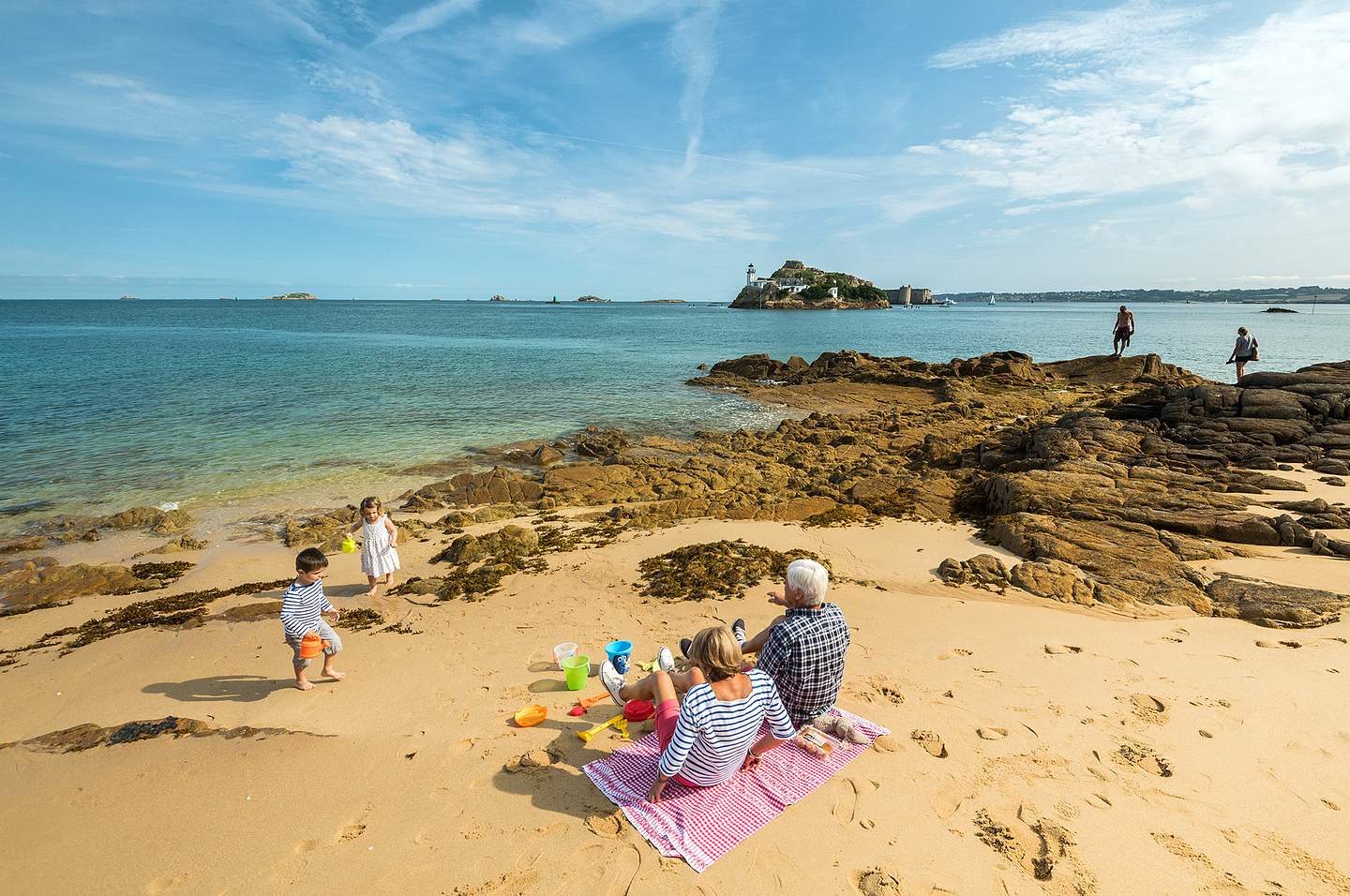
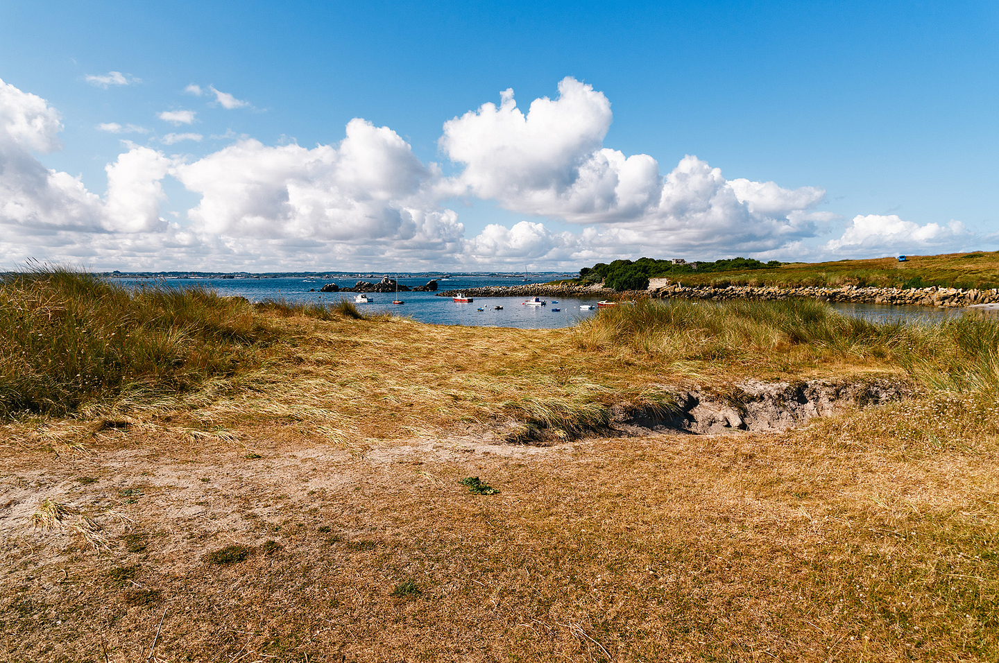
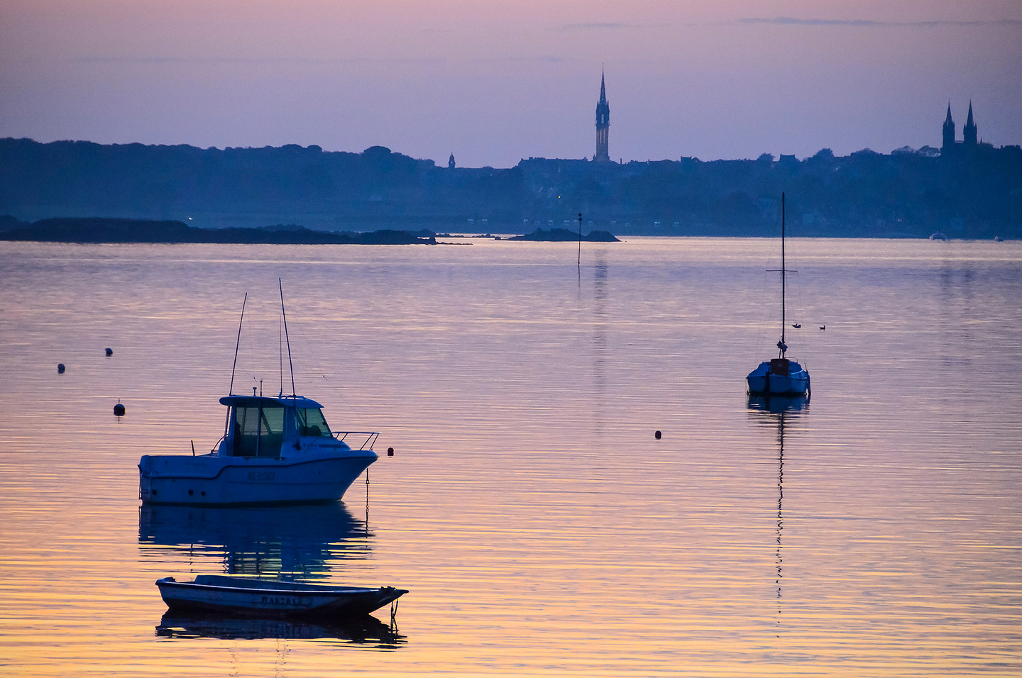
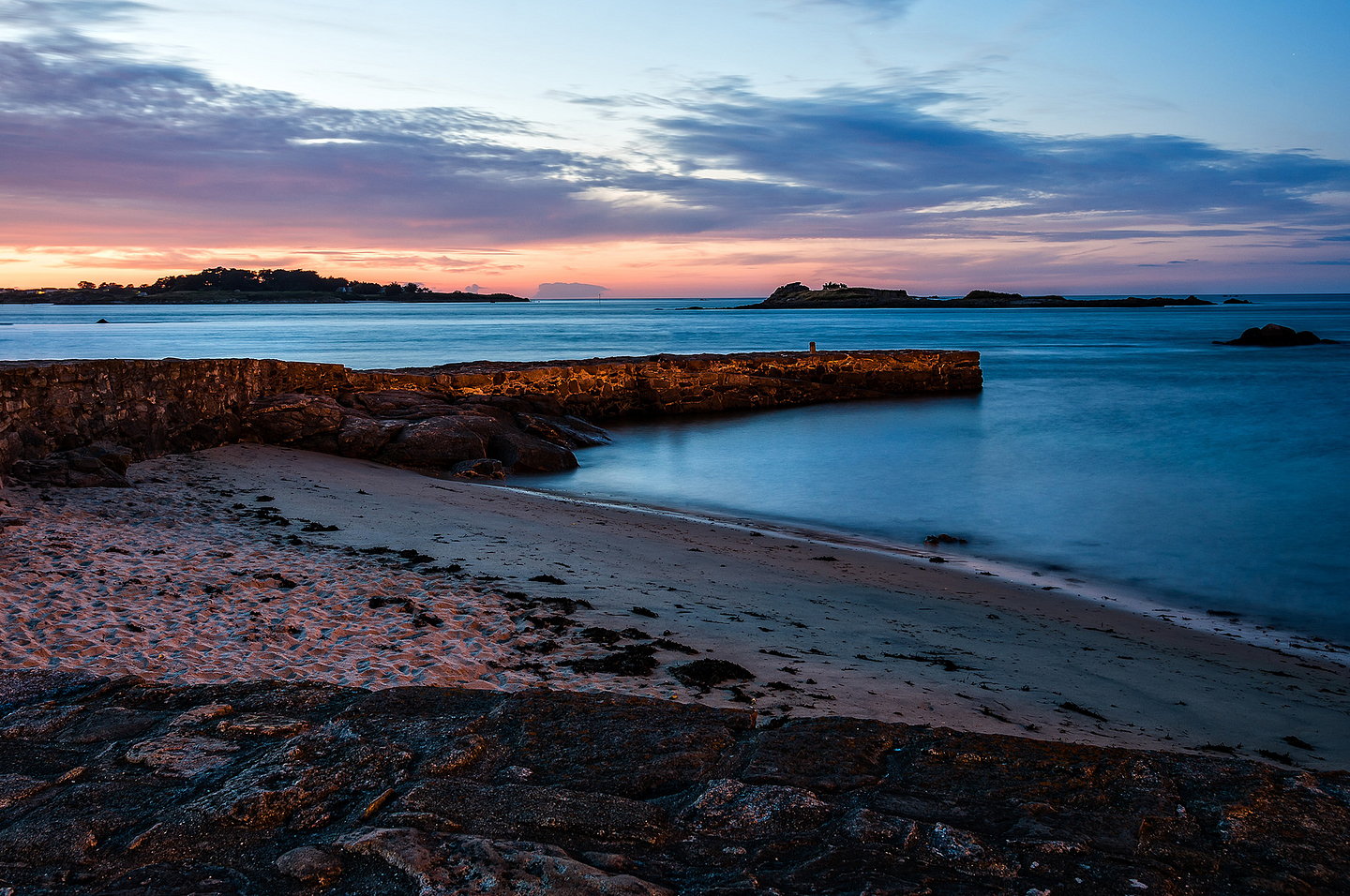
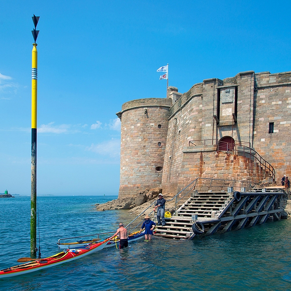
Baie de Morlaix bay

A genuine gem in northern Finistère, the Baie de Morlaix bay is a vast indentation which brings together the estuaries of the Penzé coastal river and the Morlaix river, between the towns of Plougasnou and Carantec. It forms a remarkable setting for oyster farming, with its mix of sea water and fresh water for water sports activities. This is because the bay is sheltered by the winds and the sea beds are exceptional here. It is also a location for hiking on the coastal paths around it and birdwatching.
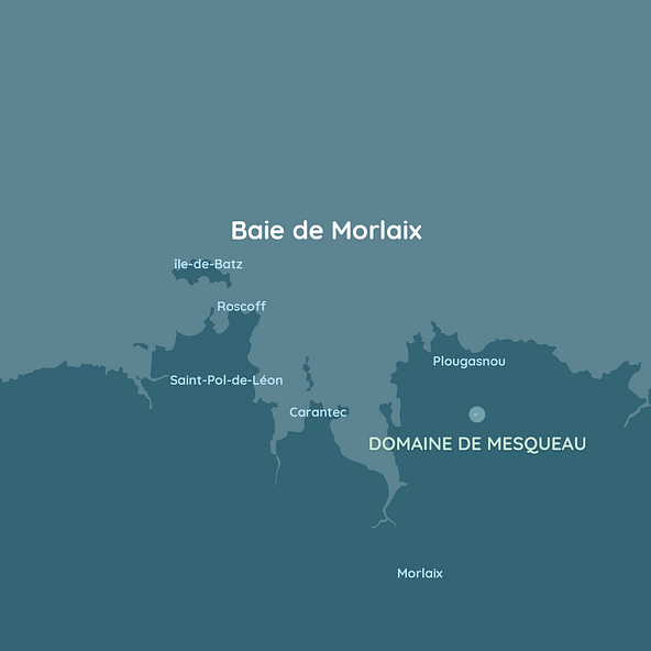
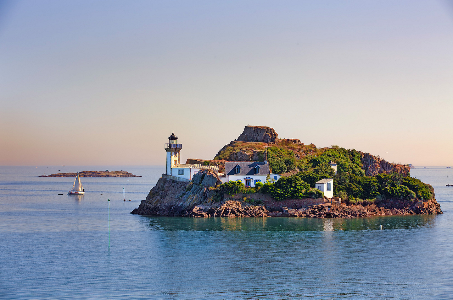
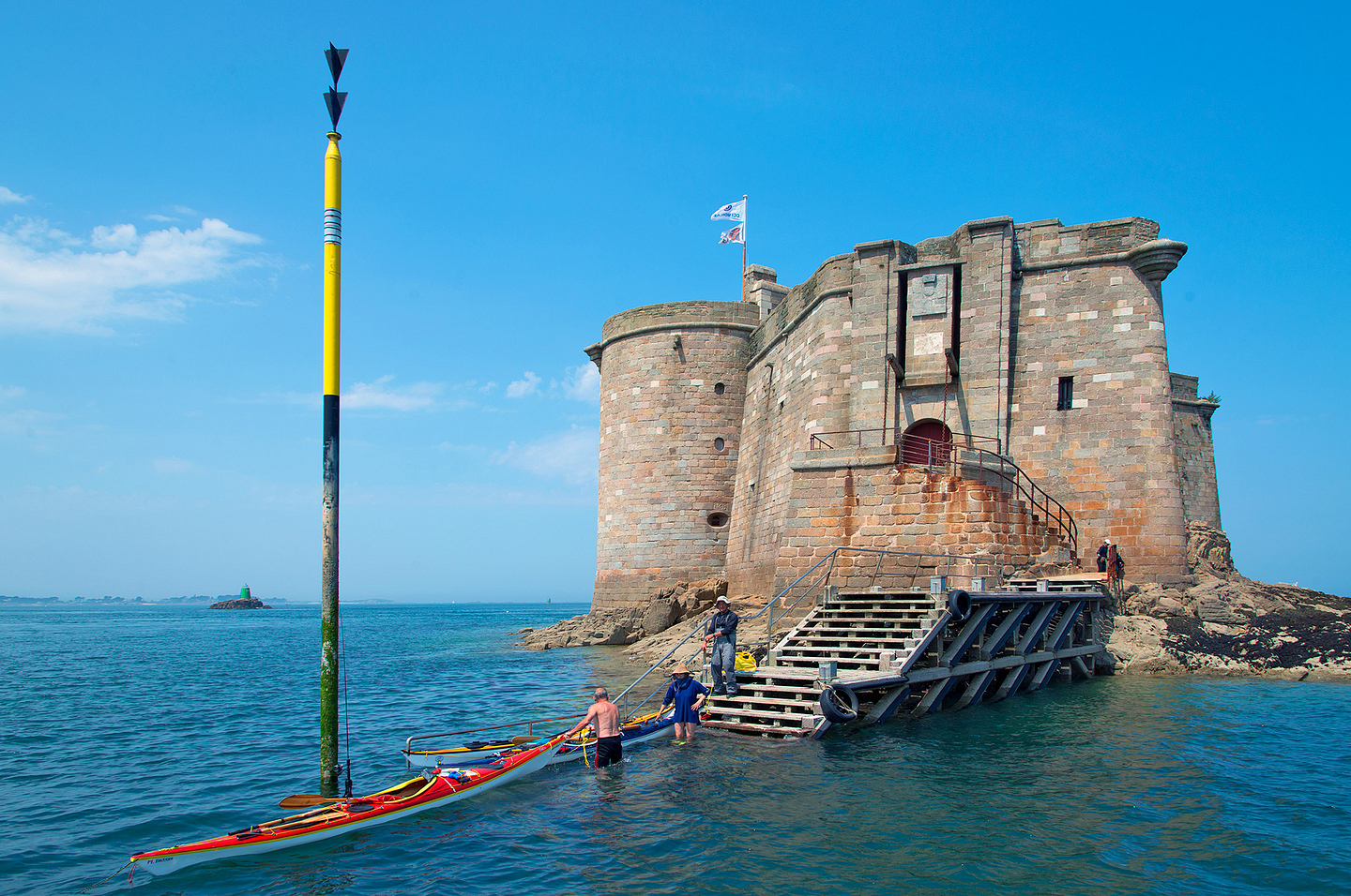
The Château du Taureau castle is located in Plouezoc’h, in the Baie de Morlaix, slap bang in the middle of turquoise-coloured waters, which leave you dreaming. Built in the 16th century this emblem of northern Finistere is listed as a Monument Historique (a building of historical and architectural interest). You can go there by boat and visit this sea fort, whose purpose in the past was to protect the bay from the English.
GR 34
Located in the heart of the Armorican Massif (Massif Armoricain), the Monts d’Arrée mountains are akin to the “roof” of Brittany. Dotted with pines, rocky crests and lakes, they stretch over a surface area of 60,000 hectares, for which the summit, Roc’h Ruz, has an altitude of 385 metres. At this height, the winds often rage furiously, but do not frighten hiking and cycling lovers. Accessible by car, Mont Saint Michel de Brasparts offers, from an altitude of 381 metres, a 360° view over the Monts d’Arrée mountains. Below, you catch a glimpse of a vast stretch of marshes and peat bogs: the Yeun Elez (Ellez marshes) where the famous Youdig, the traditional name designating the gates of hell, is located...There is no doubt you have arrived in the Land of Legends!
Discover this forest with bewitching colours, which seem to come straight out of your imagination. Do not forget your camera to immortalize yourself by a water course, between its mysterious blocks of granite and rounded rocks. These have given rise to numerous legends and stories. Amongst other things, you will discover the Grotte d’Artus cave, the Grotte du Diable (Devil’s Cave), the Mare aux Fées (Fairy’s cave) and even the Gouffre de Huelgoat cave, overlooking the so-called “silver river”. However, the Huelgoat forest has many other surprises and exceptional places…